UN/LOCODE hub · United States
USPEU
Pearsall
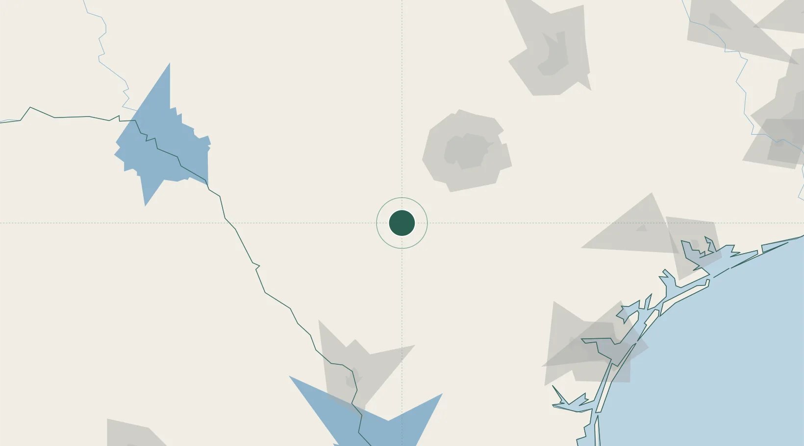
28.8833°, -99.0833°
9,980
Population
2
Transport functions
Transport Functions
Road
Multimodal
Hub Profile
Place type
Provincial seat
Region
Texas
Population
9,980
Time zone
America/Chicago
Elevation
193 m
Location
Nearby Logistics Neighbours
Cities
- 1Dilley25 km
- 2D'Hanis54 km
- 3Pleasanton59 km
- 4Sabinal61 km
- 5Von Ormy66 km
Ports
- 1Corpus Christi203 km
- 2Port Ingleside221 km
- 3Rockport221 km
- 4Port Aransas231 km
- 5Port Lavaca242 km
Airports
Trade Zones
- 1FTZ No. 080 San Antonio72 km
- 2FTZ No. 096 Eagle Pass140 km
- 3FTZ No. 094 Laredo153 km
- 4FTZ No. 183 Austin201 km
- 5FTZ No. 122 Corpus Christi203 km
DatabookThe Record of Consolidated Knowledge
United States beyond logistics?