UN/LOCODE hub · United States
USXUO
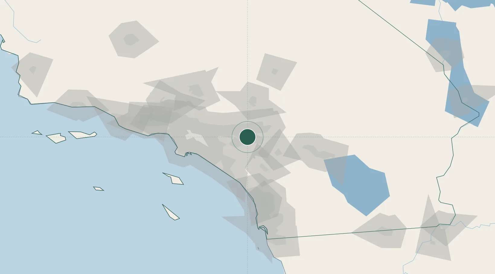
Rubidoux
33.9833°, -117.4000°
34,280
Population
1
Transport functions
Transport Functions
Multimodal
Hub Profile
Place type
Populated place
Region
California
Population
34,280
Time zone
America/Los_Angeles
Elevation
236 m
Location
Nearby Logistics Neighbours
Cities
- 1Bloomington9 km
- 2Grand Terrace11 km
- 3Kaiser13 km
- 4Eastvale14 km
- 5March Air Reserve Base15 km
Ports
- 1Newport Beach62 km
- 2Long Beach76 km
- 3Los Angeles83 km
- 4El Segundo96 km
- 5Avalon110 km
Airports
Trade Zones
- 1FTZ No. 244 Riverside County13 km
- 2FTZ No. 243 Victorville67 km
- 3FTZ No. 050 Long Beach71 km
- 4FTZ No. 236 Palm Springs84 km
- 5FTZ No. 202 Los Angeles86 km
DatabookThe Record of Consolidated Knowledge
United States beyond logistics?