Transport Functions
Rail
Road
Hub Profile
Place type
Populated place
Region
Indiana
Time zone
America/Indiana/Indianapolis
Elevation
262 m
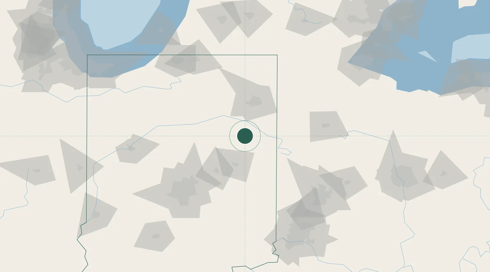
Location
Nearby Logistics Neighbours
Ports
- 1Michigan City186 km
- 2Toledo194 km
- 3St Joseph197 km
- 4Gary207 km
- 5Monroe216 km
Airports
Trade Zones
- 1FTZ No. 182 Fort Wayne54 km
- 2FTZ No. 100 Dayton122 km
- 3FTZ No. 072 Indianapolis132 km
- 4FTZ No. 151 Findlay140 km
- 5FTZ No. 125 South Bend150 km
DatabookThe Record of Consolidated Knowledge
United States beyond logistics?