Channel & Berth Profile
Pilotage, Tugs & Services
Pilotage compulsoryYES
Tug assistanceNO
Salvage tugsNO
Potable waterYES
Diesel bunkersYES
MedicalYES
Facilities & Capabilities
Container—
Ro-Ro—
Liquid bulk—
Dry bulk—
Oil terminal—
Break bulk—
Dry dock—
RepairsNO
BunkeringYES
Rail link—
Dangerous cargo—
ISPS security—
Harbour Specifications
Harbour size
Small
Harbour type
Coastal (Breakwater)
Shelter
Fair
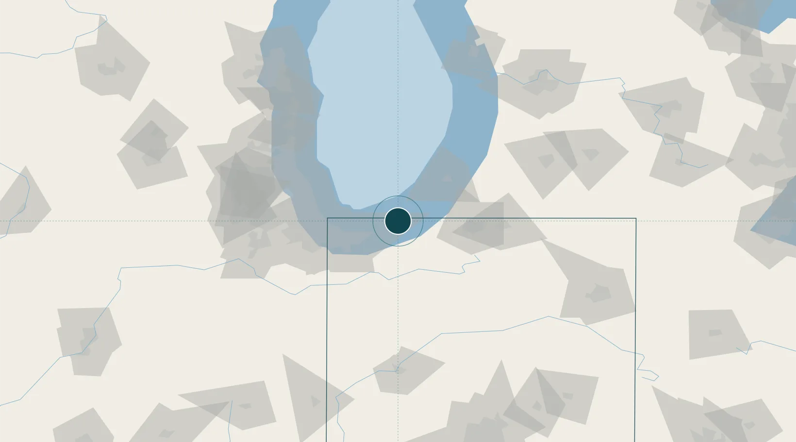
Water body
Lake Michigan; Great Lakes
Overhead limit
Yes
Pilotage
Yes
Location
Nearby Logistics Neighbours
Ports
- 1Gary38 km
- 2Indiana Harbor45 km
- 3Calumet Harbor51 km
- 4St Joseph55 km
- 5Chicago60 km
Cities
- 1Sawyer17 km
- 2Chesterton20 km
- 3Burns Harbor23 km
- 4Rolling Prairie25 km
- 5Three Oaks26 km
Airports
Trade Zones
- 1FTZ No. 152 Burns Harbor25 km
- 2FTZ No. 125 South Bend47 km
- 3FTZ No. 022 Chicago81 km
- 4FTZ No. 292 Lake County105 km
- 5FTZ No. 043 Battle Creek150 km
DatabookThe Record of Consolidated Knowledge
United States beyond logistics?