Foreign Trade Zone · United States

FTZ No. 072 Indianapolis Active
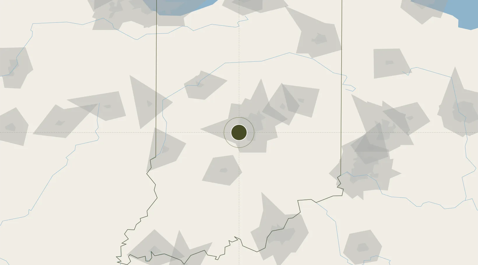
39.7228°, -86.3138°
227.5 km
Nearest port
1.8 km
Nearest airport

Gateway access

Nearest neighbours — logibook spatial index (haversine) over the source coordinates

Zone profile

Zone type
Foreign Trade Zone
Open Zone Map
Region
Indiana
Open Zone Map
Status
Active
Open Zone Map
Management
Public
Open Zone Map
Operator
Indianapolis Airport Authority
Open Zone Map
Legal framework
Foreign-Trade Zones Act
Open Zone Map

Location

Location of ozm-4833
Natural Earth 10m (public domain) · Indiana · ozm-4833 · 39.72, -86.31GoogleOSMYandex

Nearby Logistics Neighbours

Ports
  1. 1Gary228 km
  2. 2Michigan City229 km
  3. 3Indiana Harbor236 km
  4. 4Calumet Harbor246 km
  5. 5Chicago264 km
Nearest neighbours — logibook spatial index (haversine) over the source coordinates
Airports
  1. 1Indianapolis International Airport2 km
  2. 2Columbus Municipal Airport63 km
  3. 3Monroe County Airport69 km
  4. 4Terre Haute Regional Airport, Hulman Field90 km
  5. 5Purdue University Airport93 km
Nearest neighbours — logibook spatial index (haversine) over the source coordinates
Cities
  1. 1Avon6 km
  2. 2Camby6 km
  3. 3Brownsburg14 km
  4. 4Danville18 km
  5. 5Clayton18 km
Nearest neighbours — logibook spatial index (haversine) over the source coordinates
Trade Zones
  1. 1FTZ No. 047 Boone County149 km
  2. 2FTZ No. 029 Louisville168 km
  3. 3FTZ No. 046 CIncinnati169 km
  4. 4FTZ No. 100 Dayton174 km
  5. 5FTZ No. 182 Fort Wayne174 km
Nearest neighbours — logibook spatial index (haversine) over the source coordinates
DatabookThe Record of Consolidated Knowledge
United States beyond logistics?
Browse databook

All Sources

Trade ZonesOpen Zone Map
CC BY
Portsthe NGA World Port Index
Public domain (US gov)
AirportsOurAirports
Public domain
LocationsUN/LOCODE
UN/LOCODE — free
← United States trade zones