Transport Functions
Rail
Road
Multimodal
Hub Profile
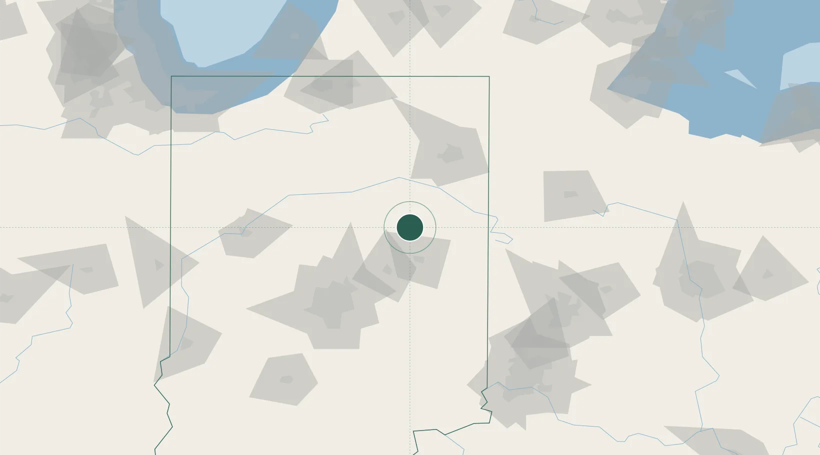
Place type
Populated place
Region
Indiana
Population
3,785
Time zone
America/Indiana/Indianapolis
Elevation
285 m
Location
Nearby Logistics Neighbours
Cities
- 1Keystone24 km
- 2Warren25 km
- 3Albany27 km
- 4Mount Vernon36 km
- 5Windfall42 km
Ports
- 1Michigan City184 km
- 2Gary201 km
- 3St Joseph202 km
- 4Indiana Harbor211 km
- 5Toledo218 km
Airports
Trade Zones
- 1FTZ No. 182 Fort Wayne70 km
- 2FTZ No. 072 Indianapolis109 km
- 3FTZ No. 100 Dayton126 km
- 4FTZ No. 125 South Bend153 km
- 5FTZ No. 151 Findlay163 km
DatabookThe Record of Consolidated Knowledge
United States beyond logistics?