Transport Functions
Rail
Road
Multimodal
Hub Profile
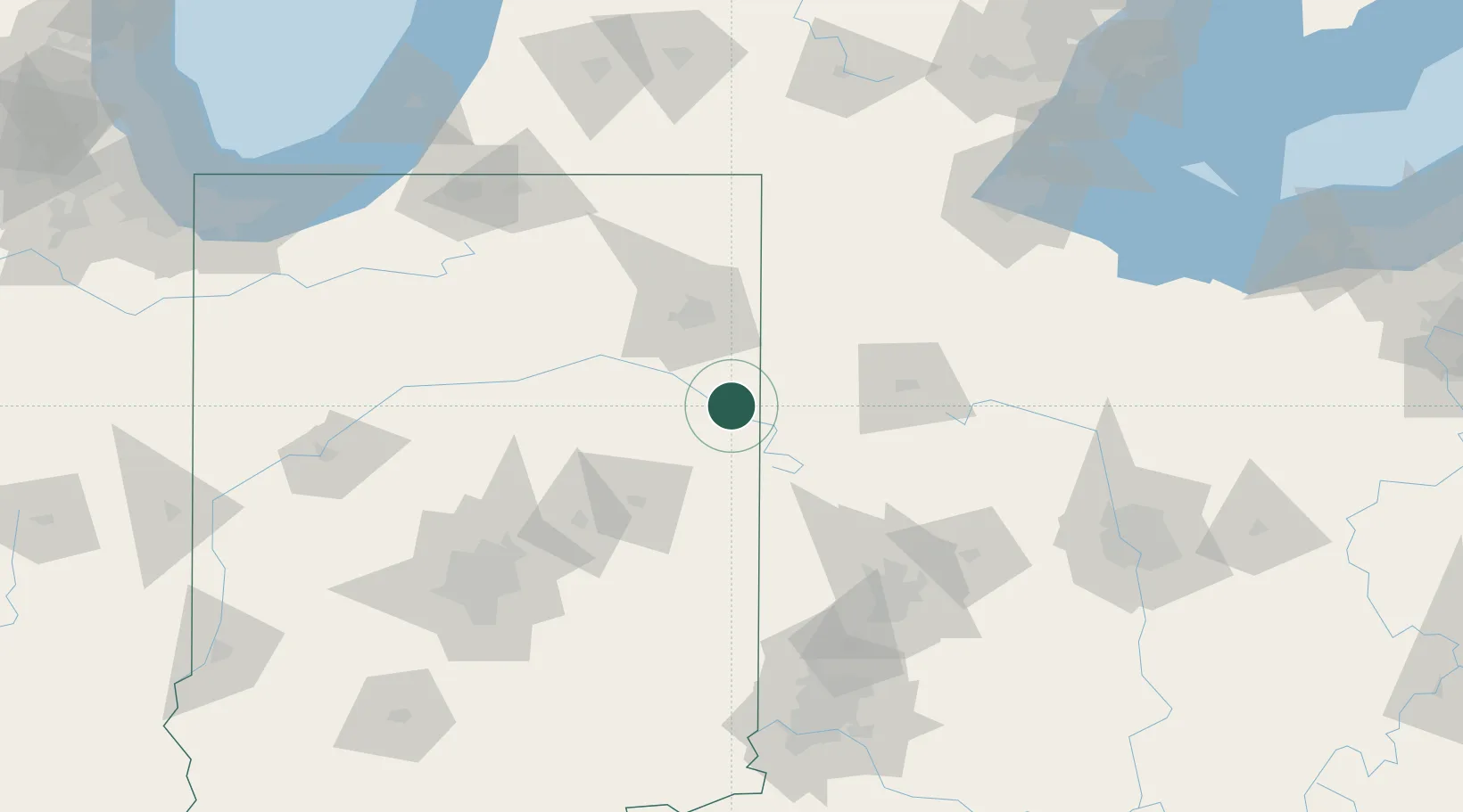
Place type
Populated place
Region
Indiana
Population
4,084
Time zone
America/Indiana/Indianapolis
Elevation
258 m
Location
Nearby Logistics Neighbours
Cities
- 1Chattanooga14 km
- 2Claves22 km
- 3Keystone27 km
- 4Fort Recovery32 km
- 5Hoagland34 km
Ports
- 1Toledo170 km
- 2Monroe193 km
- 3Port Clinton195 km
- 4Michigan City203 km
- 5St Joseph207 km
Airports
Trade Zones
- 1FTZ No. 182 Fort Wayne56 km
- 2FTZ No. 100 Dayton110 km
- 3FTZ No. 151 Findlay114 km
- 4FTZ No. 072 Indianapolis155 km
- 5FTZ No. 008 Toledo163 km
DatabookThe Record of Consolidated Knowledge
United States beyond logistics?