Transport Functions
Road
Multimodal
Hub Profile
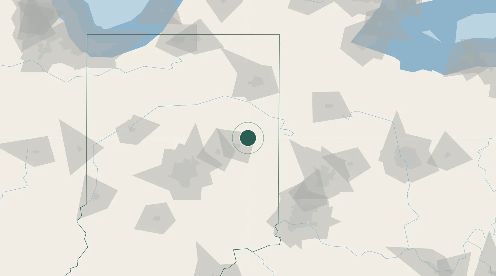
Place type
Populated place
Region
Indiana
Population
2,119
Time zone
America/Indiana/Indianapolis
Elevation
277 m
Location
Nearby Logistics Neighbours
Cities
- 1Upland27 km
- 2Keystone33 km
- 3Middletown37 km
- 4Fort Recovery42 km
- 5Hagerstown45 km
Ports
- 1Michigan City211 km
- 2Toledo216 km
- 3St Joseph227 km
- 4Gary228 km
- 5Port Clinton237 km
Airports
Trade Zones
- 1FTZ No. 182 Fort Wayne87 km
- 2FTZ No. 100 Dayton99 km
- 3FTZ No. 072 Indianapolis111 km
- 4FTZ No. 046 CIncinnati148 km
- 5FTZ No. 047 Boone County152 km
DatabookThe Record of Consolidated Knowledge
United States beyond logistics?