Medium airport · United States
Grissom Air Reserve BaseKGUS
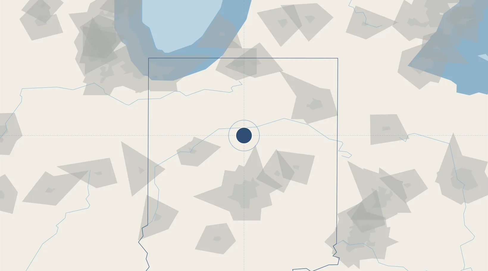
40.6481°, -86.1521°
12,501 ft
Longest runway
1
Runways
812 ft
Elevation
Runway & Layout

Radio Frequencies
ATIS
108.45 MHz
TWR
133.7 MHz
GND
128.425 MHz
CLD
128.425 MHz
CLNC DEL
A/D
121.05 MHz
A/D INITIAL CONTACT
A/D
123.85 MHz
GRISSOM A/D WEST
A/D
135.35 MHz
GRISSOM A/D SECONDARY
CTR
121.05 MHz
CHICAGO CTR
PMSV
34.46 MHz
PMSV METRO
PTD
372.2 MHz
Navaids
GUS VORTAC Grissom 108.45 MHz
Runways · 1
| Runway | Dimensions | Surface | True heading | Lit |
|---|---|---|---|---|
| 05/23 | 12,501 × 200ft | Asphalt | 044° | ✓ |
Airport Specifications
IATA code
GUS
ICAO code
KGUS
Airport class
Medium airport
Scheduled service
No
Runway surface
Asphalt
Served city
Peru
Location
Nearby Logistics Neighbours
Airports
Cities
- 1Walton7 km
- 2Russiaville28 km
- 3Mount Vernon28 km
- 4Windfall37 km
- 5Urbana41 km
Ports
- 1Michigan City136 km
- 2Gary146 km
- 3Indiana Harbor156 km
- 4St Joseph166 km
- 5Calumet Harbor166 km
Trade Zones
- 1FTZ No. 182 Fort Wayne87 km
- 2FTZ No. 072 Indianapolis104 km
- 3FTZ No. 125 South Bend115 km
- 4FTZ No. 152 Burns Harbor137 km
- 5FTZ No. 100 Dayton185 km
DatabookThe Record of Consolidated Knowledge
United States beyond logistics?