Foreign Trade Zone · United States

FTZ No. 125 South Bend Active
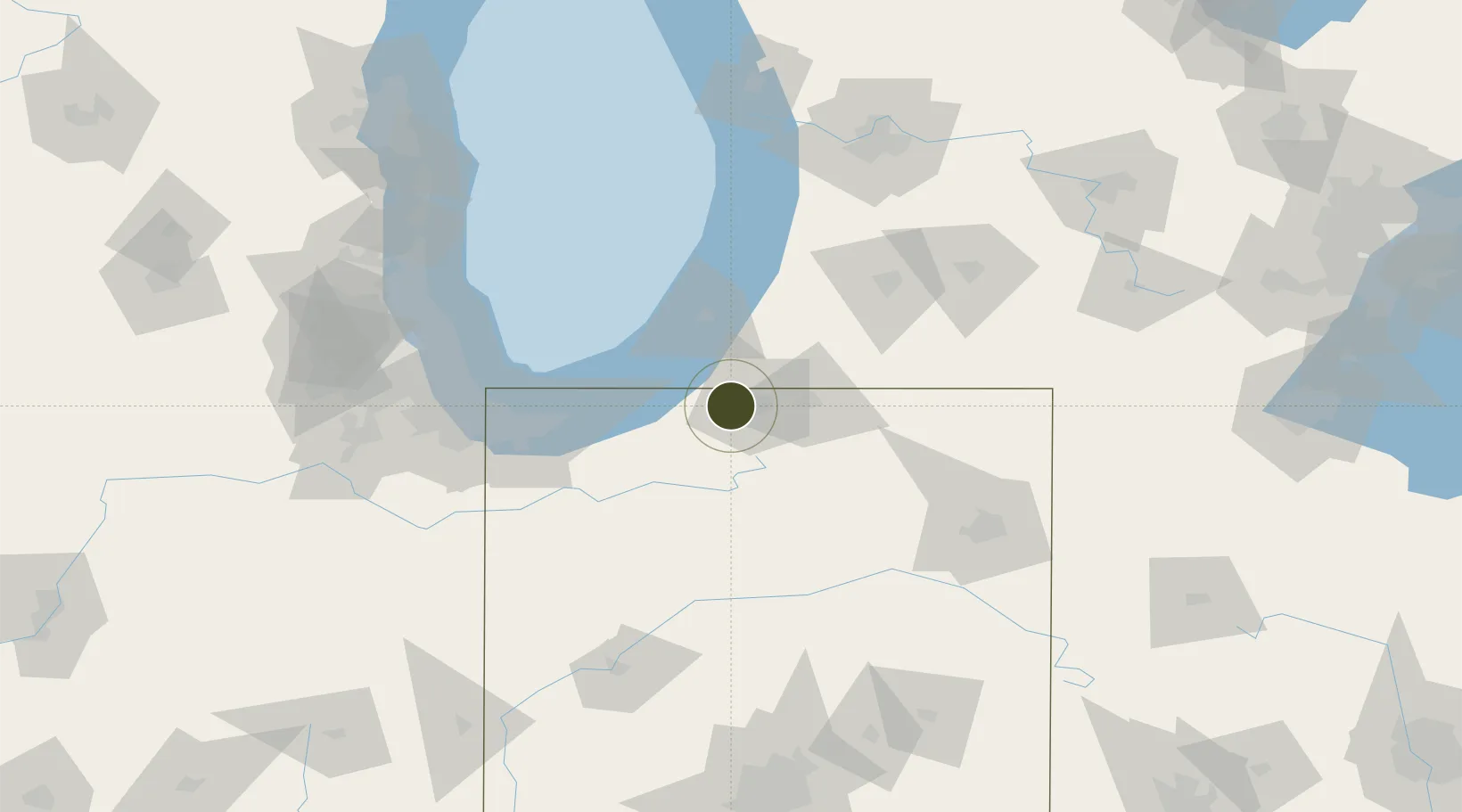
41.6747°, -86.3459°
46.5 km
Nearest port
4.4 km
Nearest airport

Gateway access

Nearest neighbours — logibook spatial index (haversine) over the source coordinates

Zone profile

Zone type
Foreign Trade Zone
Open Zone Map
Region
Indiana
Open Zone Map
Status
Active
Open Zone Map
Management
Public
Open Zone Map
Operator
St. Joseph County Airport Authority
Open Zone Map
Legal framework
Foreign-Trade Zones Act
Open Zone Map

Location

Location of ozm-4809
Natural Earth 10m (public domain) · Indiana · ozm-4809 · 41.67, -86.35GoogleOSMYandex

Nearby Logistics Neighbours

Ports
  1. 1Michigan City47 km
  2. 2St Joseph50 km
  3. 3South Haven81 km
  4. 4Gary82 km
  5. 5Indiana Harbor90 km
Nearest neighbours — logibook spatial index (haversine) over the source coordinates
Airports
  1. 1South Bend International Airport4 km
  2. 2Michigan City Municipal Airport40 km
  3. 3Porter County Municipal Airport60 km
  4. 4Gary/Chicago International Airport89 km
  5. 5Kalamazoo/Battle Creek International Airport90 km
Nearest neighbours — logibook spatial index (haversine) over the source coordinates
Cities
  1. 1Galien19 km
  2. 2Granger21 km
  3. 3Rolling Prairie23 km
  4. 4Wyatt23 km
  5. 5Three Oaks24 km
Nearest neighbours — logibook spatial index (haversine) over the source coordinates
Trade Zones
  1. 1FTZ No. 152 Burns Harbor68 km
  2. 2FTZ No. 182 Fort Wayne110 km
  3. 3FTZ No. 043 Battle Creek115 km
  4. 4FTZ No. 022 Chicago128 km
  5. 5FTZ No. 292 Lake County147 km
Nearest neighbours — logibook spatial index (haversine) over the source coordinates
DatabookThe Record of Consolidated Knowledge
United States beyond logistics?
Browse databook

All Sources

Trade ZonesOpen Zone Map
CC BY
Portsthe NGA World Port Index
Public domain (US gov)
AirportsOurAirports
Public domain
LocationsUN/LOCODE
UN/LOCODE — free
← United States trade zones