Medium airport · United States
Delaware County Johnson FieldKMIE
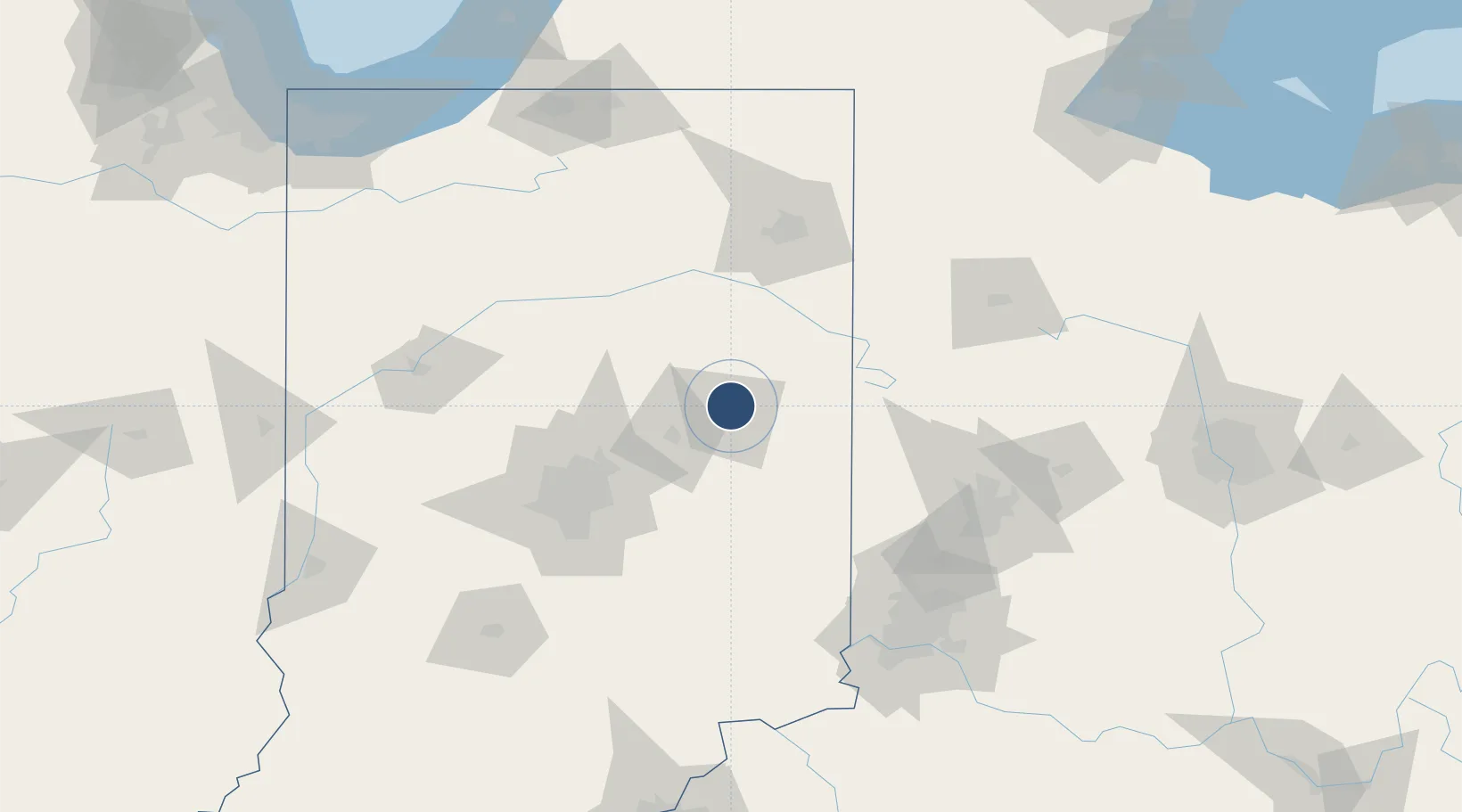
40.2423°, -85.3959°
6,500 ft
Longest runway
2
Runways
937 ft
Elevation
Runway & Layout

Radio Frequencies
ATIS
133.25 MHz
ASOS
114.4 MHz
TWR
120.1 MHz
MUNCIE TWR
GND
121.9 MHz
MUNCIE GND
CTAF
120.1 MHz
CNTR
120.65 MHz
INDIANAPOLIS CNTR
RDO
114.4 MHz
TERRE HAUTE RDO
UNIC
122.95 MHz
UNICOM
Navaids
JN NDB Balll 365 kHz
MIE VOR-DME Muncie 114.40 MHz
Runways · 2
| Runway | Dimensions | Surface | True heading | Lit |
|---|---|---|---|---|
| 14/32 | 6,500 × 150ft | Asphalt | 136° | ✓ |
| 03/21 | 5,198 × 100ft | Asphalt | 016° | ✓ |
Airport Specifications
IATA code
MIE
ICAO code
KMIE
Airport class
Medium airport
Scheduled service
No
Runway surface
Asphalt
Served city
Muncie
Location
Nearby Logistics Neighbours
Airports
Cities
- 1Albany14 km
- 2Middletown24 km
- 3Upland26 km
- 4Markleville35 km
- 5Keystone41 km
Ports
- 1Michigan City208 km
- 2Gary223 km
- 3St Joseph227 km
- 4Toledo229 km
- 5Indiana Harbor233 km
Trade Zones
- 1FTZ No. 182 Fort Wayne94 km
- 2FTZ No. 072 Indianapolis97 km
- 3FTZ No. 100 Dayton107 km
- 4FTZ No. 046 CIncinnati148 km
- 5FTZ No. 047 Boone County149 km
DatabookThe Record of Consolidated Knowledge
United States beyond logistics?