Transport Functions
Rail
Road
Multimodal
Hub Profile
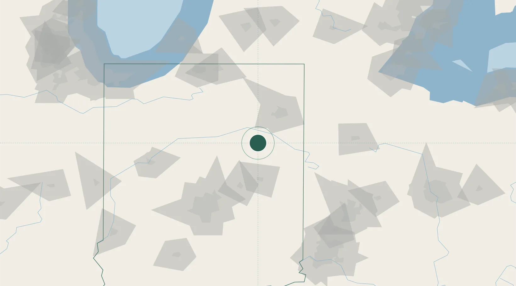
Place type
Populated place
Region
Indiana
Population
1,223
Time zone
America/Indiana/Indianapolis
Elevation
251 m
Location
Nearby Logistics Neighbours
Cities
- 1Keystone17 km
- 2Upland25 km
- 3Mount Vernon32 km
- 4Yoder36 km
- 5Urbana37 km
Ports
- 1Michigan City169 km
- 2St Joseph182 km
- 3Gary190 km
- 4Toledo200 km
- 5Indiana Harbor200 km
Airports
Trade Zones
- 1FTZ No. 182 Fort Wayne46 km
- 2FTZ No. 072 Indianapolis130 km
- 3FTZ No. 125 South Bend134 km
- 4FTZ No. 100 Dayton139 km
- 5FTZ No. 151 Findlay151 km
DatabookThe Record of Consolidated Knowledge
United States beyond logistics?