Large airport · United States
Indianapolis International AirportKIND
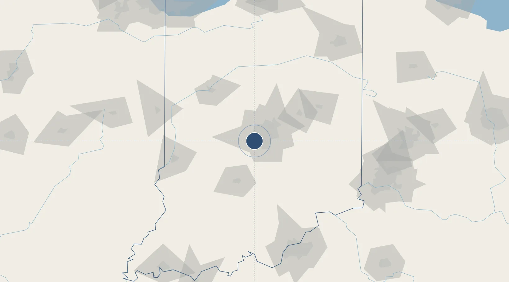
39.7173°, -86.2944°
11,200 ft
Longest runway
3
Runways
797 ft
Elevation
Runway & Layout

Radio Frequencies
ATIS
134.25 MHz
TWR
120.9 MHz
INDY TWR
GND
121.8 MHz
CLD
128.75 MHz
CLNC DEL
APP
128.175 MHz
APP INITIAL CONTACT
APP (E)
127.15 MHz
APP EAST OF ACTIVE RWY
APP (W)
124.65 MHz
APP WEST OF ACTIVE RUNWAY
DEP (E)
124.95 MHz
DEP EAST
DEP (W)
119.05 MHz
DEP WEST
RDO
122.55 MHz
TERRE HAUTE RDO
UNIC
122.95 MHz
UNICOM
Navaids
CO NDB Colfa 232 kHz
Runways · 3
| Runway | Dimensions | Surface | True heading | Lit |
|---|---|---|---|---|
| 05L/23R | 11,200 × 150ft | Concrete | 044° | ✓ |
| 05R/23L | 10,000 × 150ft | Concrete | 045° | ✓ |
| 14/32 | 7,278 × 150ft | Asphalt | 135° | ✓ |
Airport Specifications
IATA code
IND
ICAO code
KIND
Airport class
Large airport
Scheduled service
Yes
Runway surface
Concrete
Served city
Indianapolis
Location
Nearby Logistics Neighbours
Airports
Cities
- 1Camby6 km
- 2Avon8 km
- 3Brownsburg15 km
- 4Southport17 km
- 5Danville19 km
Ports
- 1Gary229 km
- 2Michigan City230 km
- 3Indiana Harbor237 km
- 4Calumet Harbor247 km
- 5Chicago265 km
Trade Zones
- 1FTZ No. 072 Indianapolis2 km
- 2FTZ No. 047 Boone County147 km
- 3FTZ No. 029 Louisville167 km
- 4FTZ No. 046 CIncinnati168 km
- 5FTZ No. 100 Dayton172 km
DatabookThe Record of Consolidated Knowledge
United States beyond logistics?