Transport Functions
Rail
Road
Hub Profile
Place type
Populated place
Region
Indiana
Time zone
America/Indiana/Indianapolis
Elevation
247 m
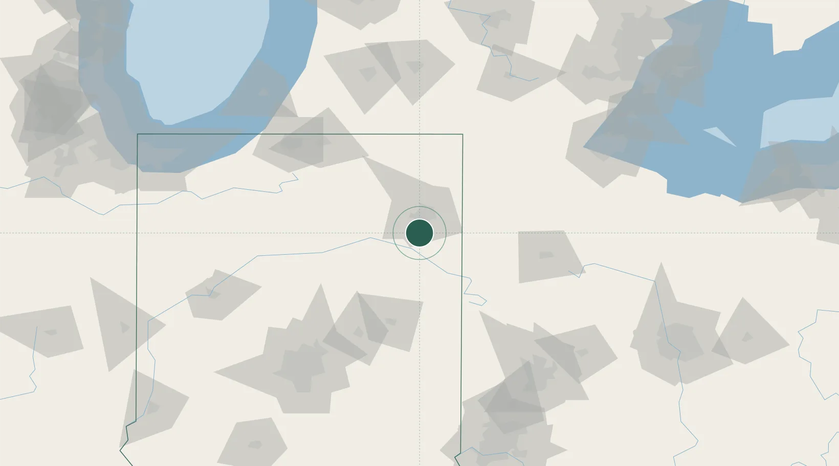
Location
Nearby Logistics Neighbours
Cities
- 1Hoagland14 km
- 2New Haven20 km
- 3Arcola22 km
- 4Churubusco34 km
- 5Grabill34 km
Ports
- 1Toledo166 km
- 2Michigan City170 km
- 3St Joseph171 km
- 4Monroe186 km
- 5South Haven188 km
Airports
Trade Zones
- 1FTZ No. 182 Fort Wayne20 km
- 2FTZ No. 151 Findlay123 km
- 3FTZ No. 125 South Bend128 km
- 4FTZ No. 100 Dayton147 km
- 5FTZ No. 043 Battle Creek157 km
DatabookThe Record of Consolidated Knowledge
United States beyond logistics?