Medium airport · United States
Worland Municipal AirportKWRL
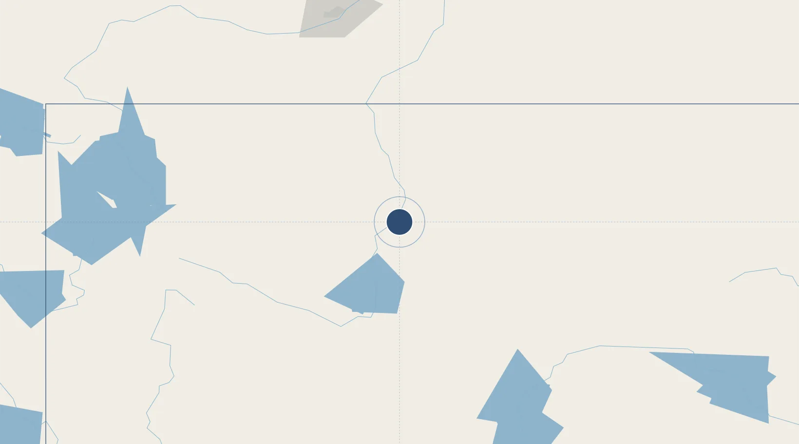
43.9657°, -107.9510°
7,000 ft
Longest runway
3
Runways
4,227 ft
Elevation
Runway & Layout

Radio Frequencies
ASOS
135.475 MHz
CNTR
133.25 MHz
SALT LAKE CITY CNTR
RDO
122.4 MHz
CASPER RDO
UNIC
123.05 MHz
CTAF/UNICOM
Navaids
RLY VOR-DME Worland 114.80 MHz
Runways · 3
| Runway | Dimensions | Surface | True heading | Lit |
|---|---|---|---|---|
| 16/34 | 7,000 × 100ft | Asphalt | 175° | ✓ |
| 10/28 | 2,502 × 60ft | Grass | 118° | — |
| 04/22 | 2,241 × 60ft | Grass | 057° | — |
Airport Specifications
IATA code
WRL
ICAO code
KWRL
Airport class
Medium airport
Scheduled service
No
Runway surface
Asphalt
Served city
Worland
Location
Nearby Logistics Neighbours
Airports
- 1Yellowstone Regional Airport105 km
- 2Central Wyoming Regional Airport108 km
- 3Sheridan County Airport118 km
- 4Hunt Field143 km
- 5Casper-Natrona County International Airport168 km
Cities
- 1Ten Sleep41 km
- 2Upton52 km
- 3Mills180 km
- 4Evansville184 km
- 5Hardin198 km
Ports
- 1The Dalles1059 km
- 2Duluth1275 km
- 3Superior1276 km
- 4Sacramento1279 km
- 5Courtland1298 km
Trade Zones
- 1FTZ No. 275 Lansing427 km
- 2FTZ No. 274 Butte-Silver Bow446 km
- 3FTZ No. 088 Great Falls478 km
- 4FTZ No. 030 Salt Lake City486 km
- 5FTZ No. 298 Jefferson County524 km
DatabookThe Record of Consolidated Knowledge
United States beyond logistics?