Transport Functions
Road
Multimodal
Hub Profile
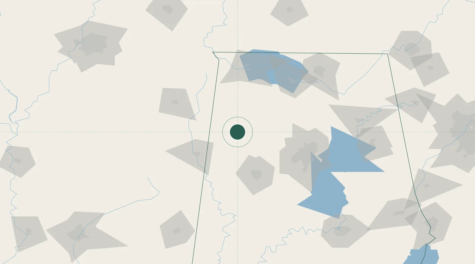
Place type
Populated place
Region
Alabama
Time zone
America/Chicago
Elevation
135 m
Location
Nearby Logistics Neighbours
Cities
- 1Berry27 km
- 2Vernon29 km
- 3Detroit38 km
- 4Millport39 km
- 5Haleyville48 km
Ports
- 1Port Of Memphis255 km
- 2Mobile351 km
- 3Pensacola386 km
- 4Pascagoula394 km
- 5Biloxi397 km
Airports
Trade Zones
- 1FTZ No. 098 Birmingham99 km
- 2FTZ No. 265 Conroe (Montgomery County)122 km
- 3FTZ No. 270 Lawrence County122 km
- 4FTZ No. 083 Huntsville132 km
- 5FTZ No. 222 Montgomery215 km
DatabookThe Record of Consolidated Knowledge
United States beyond logistics?