UN/LOCODE hub · United States
USRN6
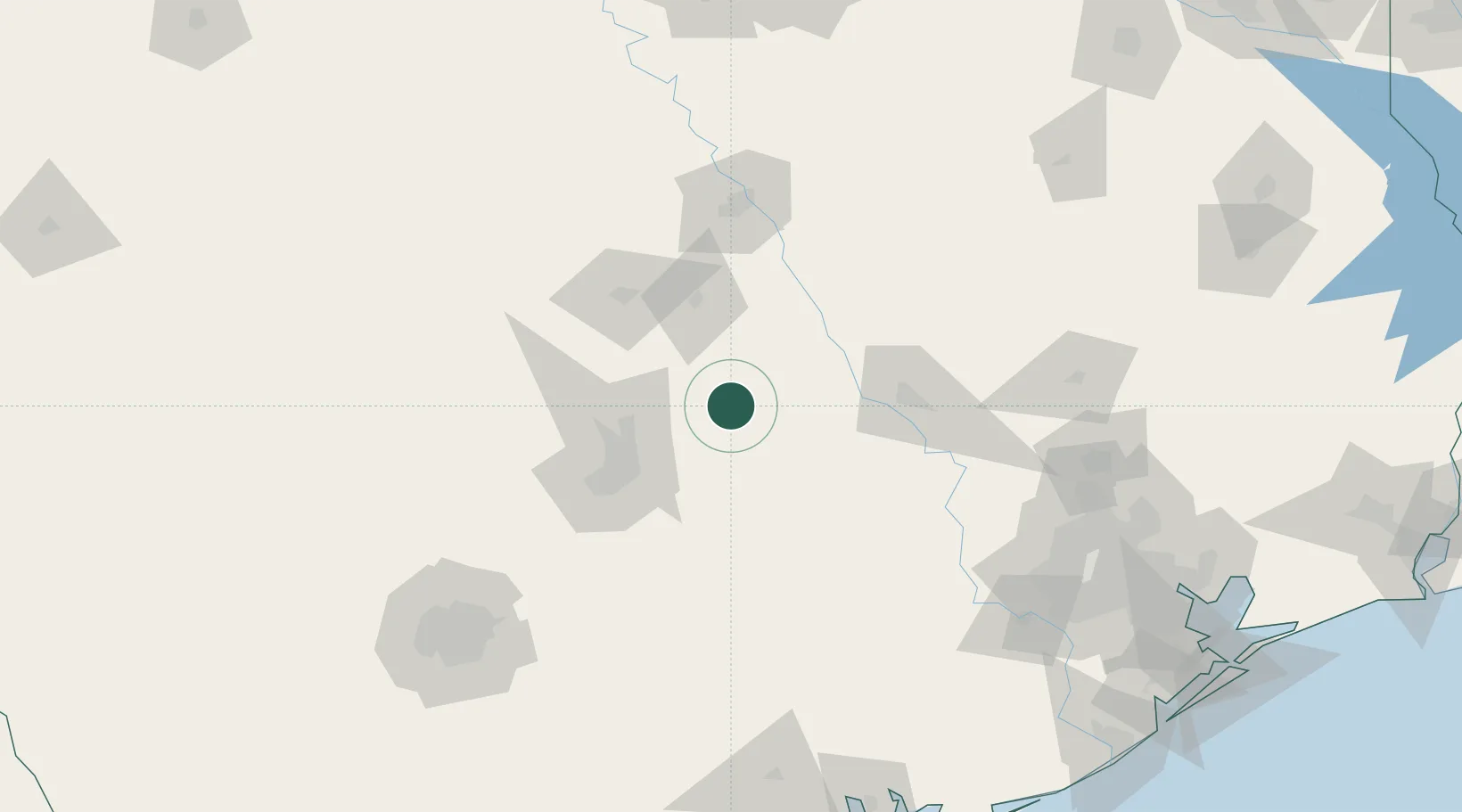
Thorndale
30.6000°, -97.2000°
1,316
Population
1
Transport functions
Transport Functions
Multimodal
Hub Profile
Place type
Populated place
Region
Texas
Population
1,316
Time zone
America/Chicago
Elevation
138 m
Location
Nearby Logistics Neighbours
Cities
- 1San Gabriel9 km
- 2Bartlett30 km
- 3Elgin34 km
- 4Hutto34 km
- 5Rogers35 km
Ports
- 1Deer Park203 km
- 2Houston207 km
- 3Pasadena215 km
- 4Port Lavaca228 km
- 5Baytown231 km
Airports
Trade Zones
- 1FTZ No. 183 Austin64 km
- 2FTZ No. 246 Waco106 km
- 3FTZ No. 113 Ellis County190 km
- 4FTZ No. 080 San Antonio198 km
- 5FTZ No. 084 Harris County203 km
DatabookThe Record of Consolidated Knowledge
United States beyond logistics?