Transport Functions
Multimodal
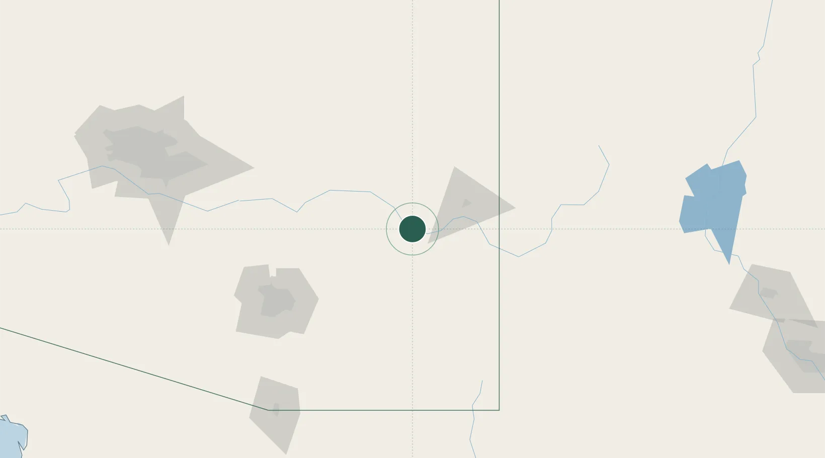
Hub Profile
Place type
Populated place
Region
Arizona
Population
645
Time zone
America/Phoenix
Elevation
879 m
Location
Nearby Logistics Neighbours
Cities
- 1Thatcher2 km
- 2Morenci46 km
- 3Bowie66 km
- 4Willcox69 km
- 5San Carlos, Graham82 km
Ports
- 1Guaymas561 km
- 2Ensenada653 km
- 3Santa Rosalia661 km
- 4Isla San Marcos670 km
- 5Rosarito687 km
Airports
Trade Zones
- 1FTZ No. 174 Pima County126 km
- 2FTZ No. 139 Sierra Vista154 km
- 3FTZ No. 221 Mesa200 km
- 4FTZ No. 060 Nogales201 km
- 5FTZ No. 075 Phoenix223 km
DatabookThe Record of Consolidated Knowledge
United States beyond logistics?