UN/LOCODE hub · United States
USICH
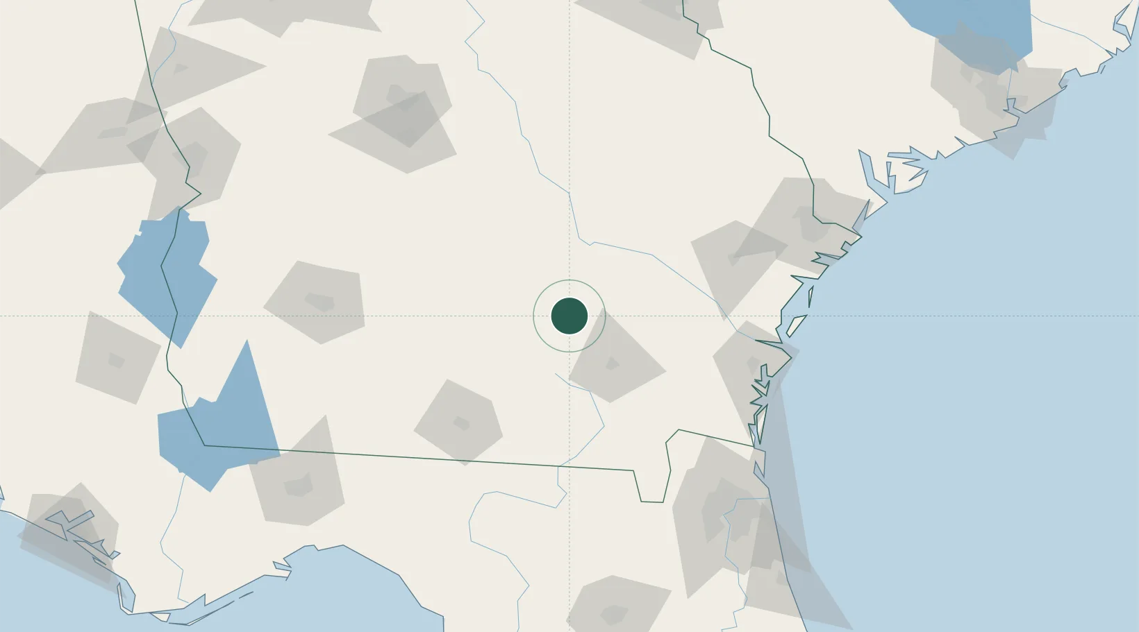
Nicholls
31.5167°, -82.6333°
3,331
Population
4
Transport functions
Transport Functions
Port
Rail
Road
Multimodal
Hub Profile
Place type
Populated place
Region
Georgia
Population
3,331
Time zone
America/New_York
Elevation
58 m
Location
Nearby Logistics Neighbours
Cities
- 1Denton23 km
- 2Axson29 km
- 3Ambrose36 km
- 4Graham36 km
- 5Hazlehurst39 km
Ports
- 1Darien115 km
- 2Brunswick115 km
- 3Fernandina Beach145 km
- 4Savannah160 km
- 5Jacksonville163 km
Airports
- 1Moody Air Force Base81 km
- 2Valdosta Regional Airport102 km
- 3Brunswick Golden Isles Airport114 km
- 4St Simons Island Airport125 km
- 5Jacksonville International Airport145 km
Trade Zones
- 1FTZ No. 144 Brunswick115 km
- 2FTZ No. 064 Jacksonville145 km
- 3FTZ No. 104 Savannah159 km
- 4FTZ No. 021 Dorchester County250 km
- 5FTZ No. 233 Dothan267 km
DatabookThe Record of Consolidated Knowledge
United States beyond logistics?