Transport Functions
Multimodal
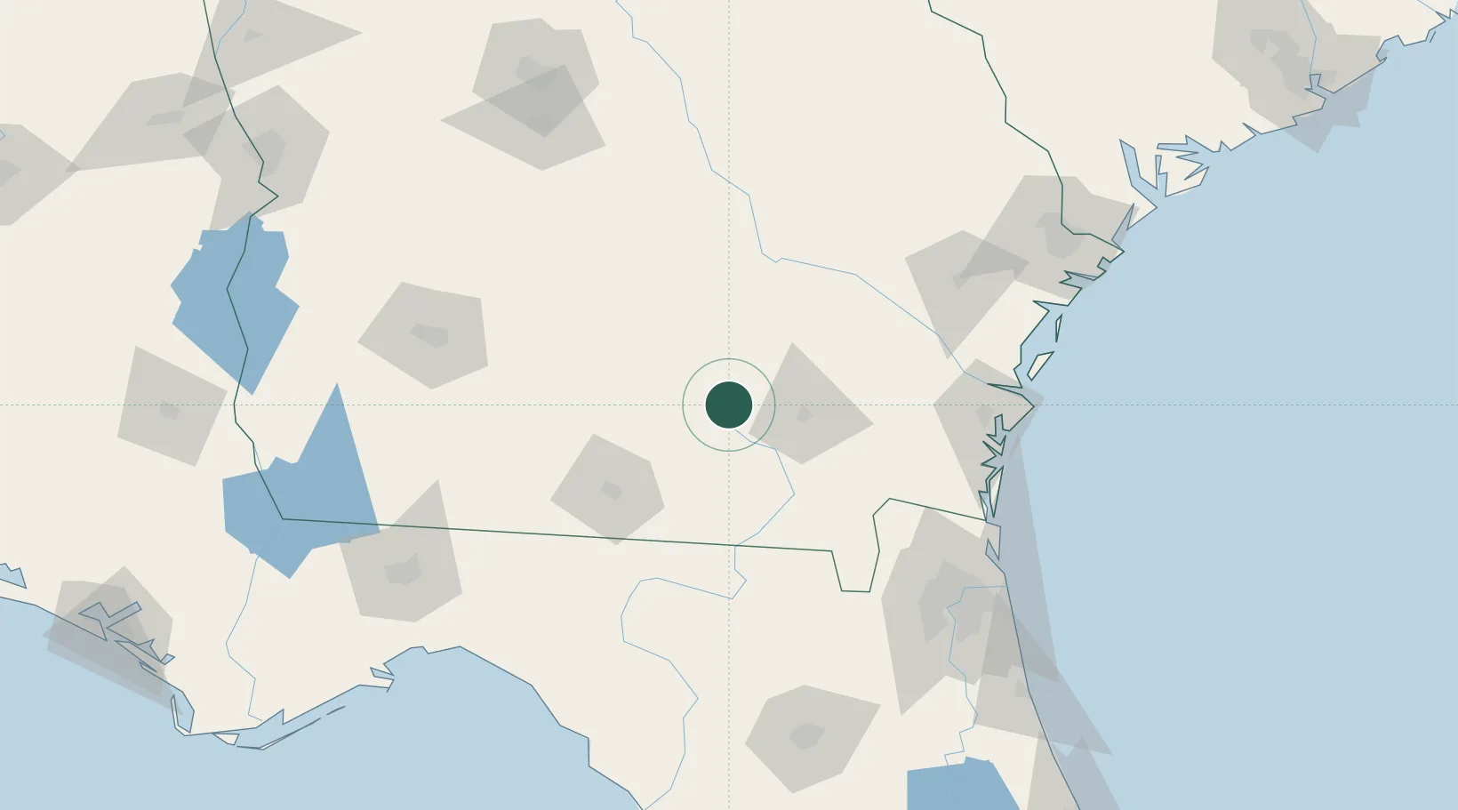
Hub Profile
Place type
Populated place
Region
Georgia
Time zone
America/New_York
Elevation
54 m
Location
Nearby Logistics Neighbours
Cities
- 1Nicholls29 km
- 2Willacoochee30 km
- 3Lakeland41 km
- 4Ambrose43 km
- 5Blackshear46 km
Ports
- 1Brunswick118 km
- 2Darien124 km
- 3Fernandina Beach137 km
- 4Jacksonville148 km
- 5Mayport157 km
Airports
Trade Zones
- 1FTZ No. 144 Brunswick118 km
- 2FTZ No. 064 Jacksonville126 km
- 3FTZ No. 104 Savannah180 km
- 4FTZ No. 233 Dothan256 km
- 5FTZ No. 021 Dorchester County277 km
DatabookThe Record of Consolidated Knowledge
United States beyond logistics?