Medium airport · United States
Valdosta Regional AirportKVLD
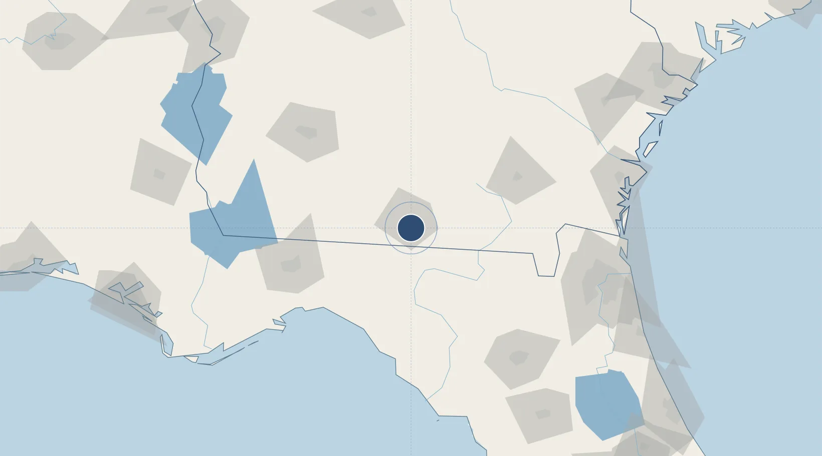
30.7825°, -83.2767°
8,003 ft
Longest runway
2
Runways
203 ft
Elevation
Runway & Layout

Radio Frequencies
ASOS
126.225 MHz
TWR
120.9 MHz
GND
121.7 MHz
CTAF
120.9 MHz
A/D
119.525 MHz
APP/DEP
RDO
122.2 MHz
MACON RDO
UNIC
122.95 MHz
UNICOM
Navaids
OTK VOR-DME Valdosta 114.80 MHz
Runways · 2
| Runway | Dimensions | Surface | True heading | Lit |
|---|---|---|---|---|
| 18/36 | 8,003 × 150ft | Asphalt | 171° | ✓ |
| 04/22 | 5,598 × 100ft | Asphalt | 036° | ✓ |
Airport Specifications
IATA code
VLD
ICAO code
KVLD
Airport class
Medium airport
Scheduled service
Yes
Runway surface
Asphalt
Served city
Valdosta
Location
Nearby Logistics Neighbours
Airports
- 1Moody Air Force Base22 km
- 2Tallahassee International Airport112 km
- 3Southwest Georgia Regional Airport121 km
- 4Cecil Airport148 km
- 5Gainesville Regional Airport155 km
Cities
- 1Lakeland34 km
- 2Old Rock Hill37 km
- 3Madison38 km
- 4Lee41 km
- 5Boston48 km
Ports
- 1Jacksonville164 km
- 2Carrabelle169 km
- 3Fernandina Beach173 km
- 4Brunswick174 km
- 5Mayport182 km
Trade Zones
- 1FTZ No. 064 Jacksonville135 km
- 2FTZ No. 144 Brunswick174 km
- 3FTZ No. 233 Dothan211 km
- 4FTZ No. 065 Panama City245 km
- 5FTZ No. 104 Savannah253 km
DatabookThe Record of Consolidated Knowledge
United States beyond logistics?