Medium airport · United States
Moody Air Force BaseKVAD
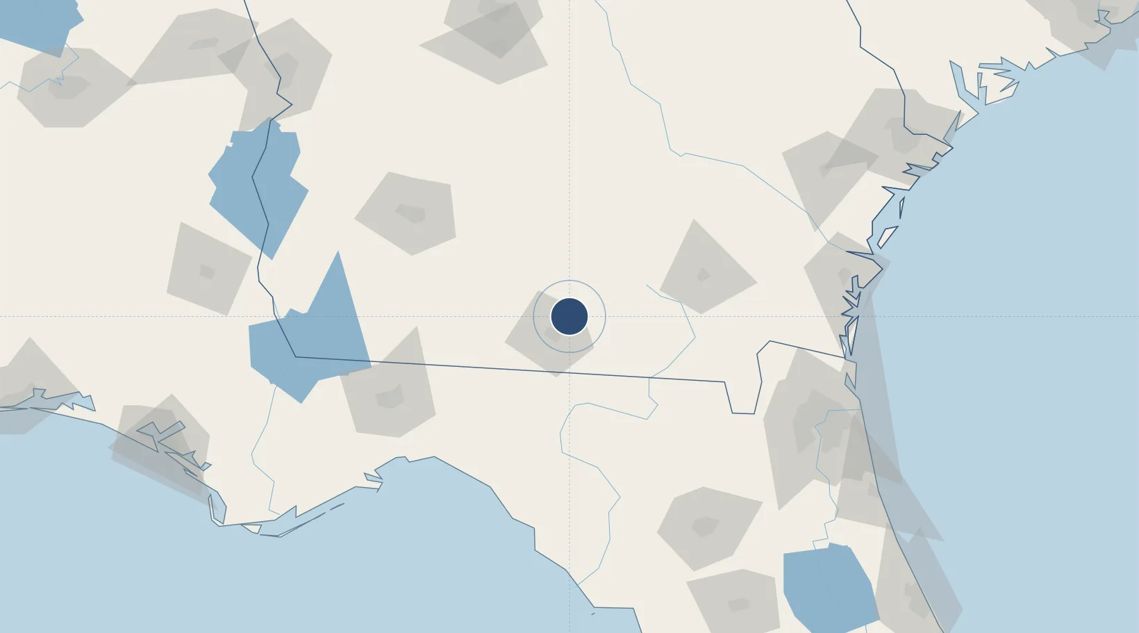
30.9678°, -83.1930°
9,300 ft
Longest runway
2
Runways
233 ft
Elevation
Runway & Layout

Radio Frequencies
ATIS
27.35 MHz
TWR
128.45 MHz
GND
120.625 MHz
APP
119.525 MHz
VALDOSTA APP
DEP
126.6 MHz
VALDOSTA DEP
INFO
143.825 MHz
SOF
MISC
22.822 MHz
AFSOC COMD POST
PMSV
26.345 MHz
PMSV METRO
PTD
139.3 MHz
Navaids
VAD VORTAC Moody 113.30 MHz
Runways · 2
| Runway | Dimensions | Surface | True heading | Lit |
|---|---|---|---|---|
| 19L/01R | 9,300 × 150ft | Concrete | 180° | ✓ |
| 19R/01L | 8,002 × 150ft | Asphalt / concrete | 180° | ✓ |
Airport Specifications
IATA code
VAD
ICAO code
KVAD
Airport class
Medium airport
Scheduled service
No
Runway surface
Concrete
Served city
Valdosta
Location
Nearby Logistics Neighbours
Airports
Cities
- 1Lakeland14 km
- 2Old Rock Hill36 km
- 3Willacoochee43 km
- 4Axson55 km
- 5Norman Park57 km
Ports
- 1Brunswick163 km
- 2Jacksonville164 km
- 3Fernandina Beach168 km
- 4Darien173 km
- 5Mayport180 km
Trade Zones
- 1FTZ No. 064 Jacksonville137 km
- 2FTZ No. 144 Brunswick163 km
- 3FTZ No. 233 Dothan215 km
- 4FTZ No. 104 Savannah235 km
- 5FTZ No. 065 Panama City259 km
DatabookThe Record of Consolidated Knowledge
United States beyond logistics?