UN/LOCODE hub · United States
USTHT
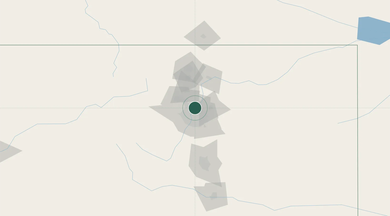
Thornton
39.8667°, -104.9667°
133,451
Population
3
Transport functions
Transport Functions
Rail
Road
Multimodal
Hub Profile
Place type
Populated place
Region
Colorado
Population
133,451
Time zone
America/Denver
Elevation
1,631 m
Location
Nearby Logistics Neighbours
Ports
- 1Duluth1291 km
- 2Superior1291 km
- 3Newport Beach1344 km
- 4San Diego1351 km
- 5Rosarito1370 km
Airports
Trade Zones
- 1FTZ No. 123 Denver14 km
- 2FTZ No. 298 Jefferson County21 km
- 3FTZ No. 112 Colorado Springs116 km
- 4FTZ No. 293 Limon129 km
- 5FTZ No. 110 Albuquerque556 km
DatabookThe Record of Consolidated Knowledge
United States beyond logistics?