Transport Functions
Port
Rail
Road
Multimodal
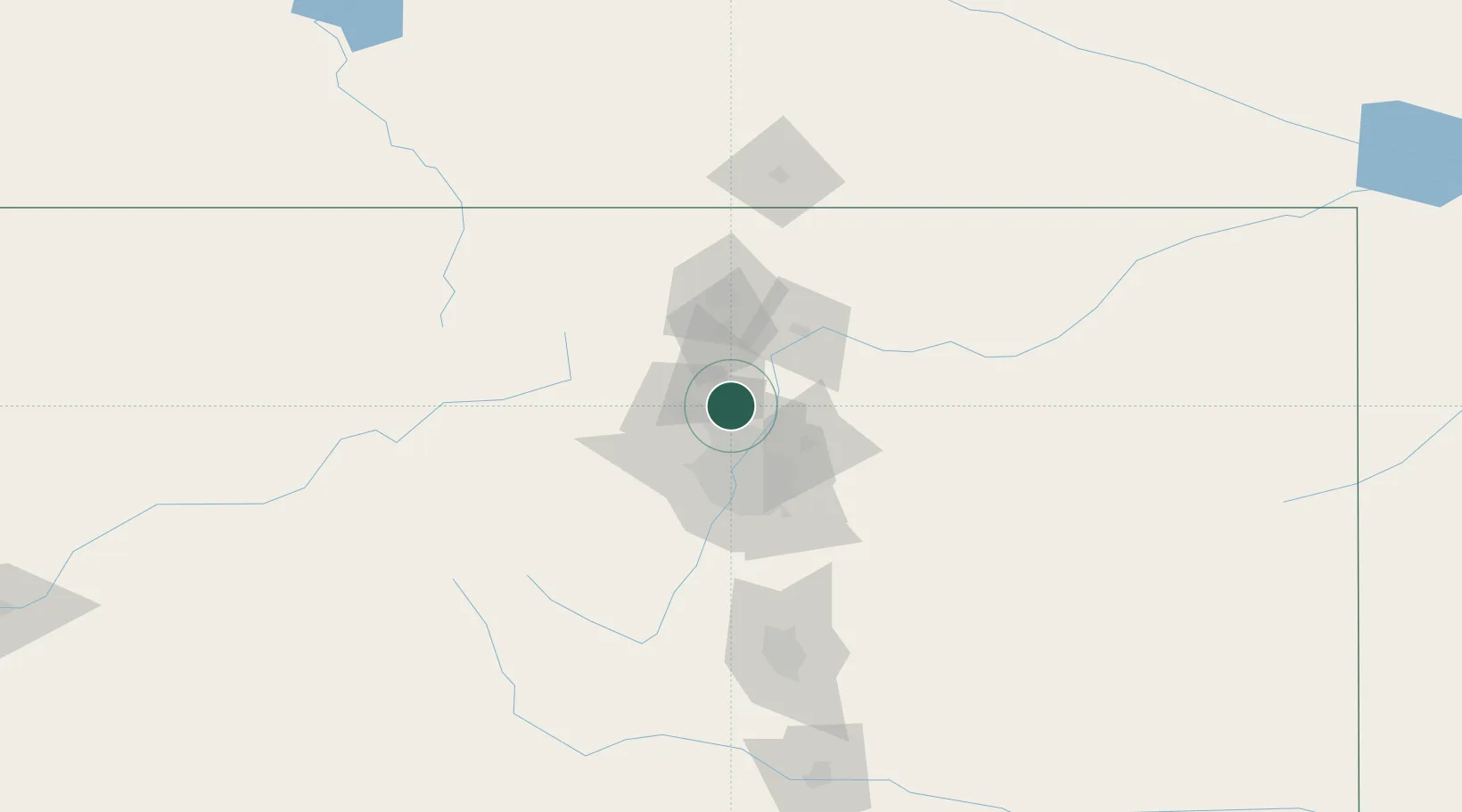
Hub Profile
Place type
Populated place
Region
Colorado
Population
21,420
Time zone
America/Denver
Elevation
1,532 m
Location
Nearby Logistics Neighbours
Cities
- 1Lafayette8 km
- 2Frederick11 km
- 3Firestone12 km
- 4Thornton22 km
- 5Fort Lupton22 km
Ports
- 1Duluth1283 km
- 2Superior1283 km
- 3Newport Beach1347 km
- 4San Diego1356 km
- 5Rosarito1376 km
Airports
Trade Zones
- 1FTZ No. 123 Denver35 km
- 2FTZ No. 298 Jefferson County35 km
- 3FTZ No. 112 Colorado Springs137 km
- 4FTZ No. 293 Limon146 km
- 5FTZ No. 110 Albuquerque574 km
DatabookThe Record of Consolidated Knowledge
United States beyond logistics?