Transport Functions
Multimodal
Hub Profile
Place type
Populated place
Region
Wisconsin
Time zone
America/Chicago
Elevation
308 m
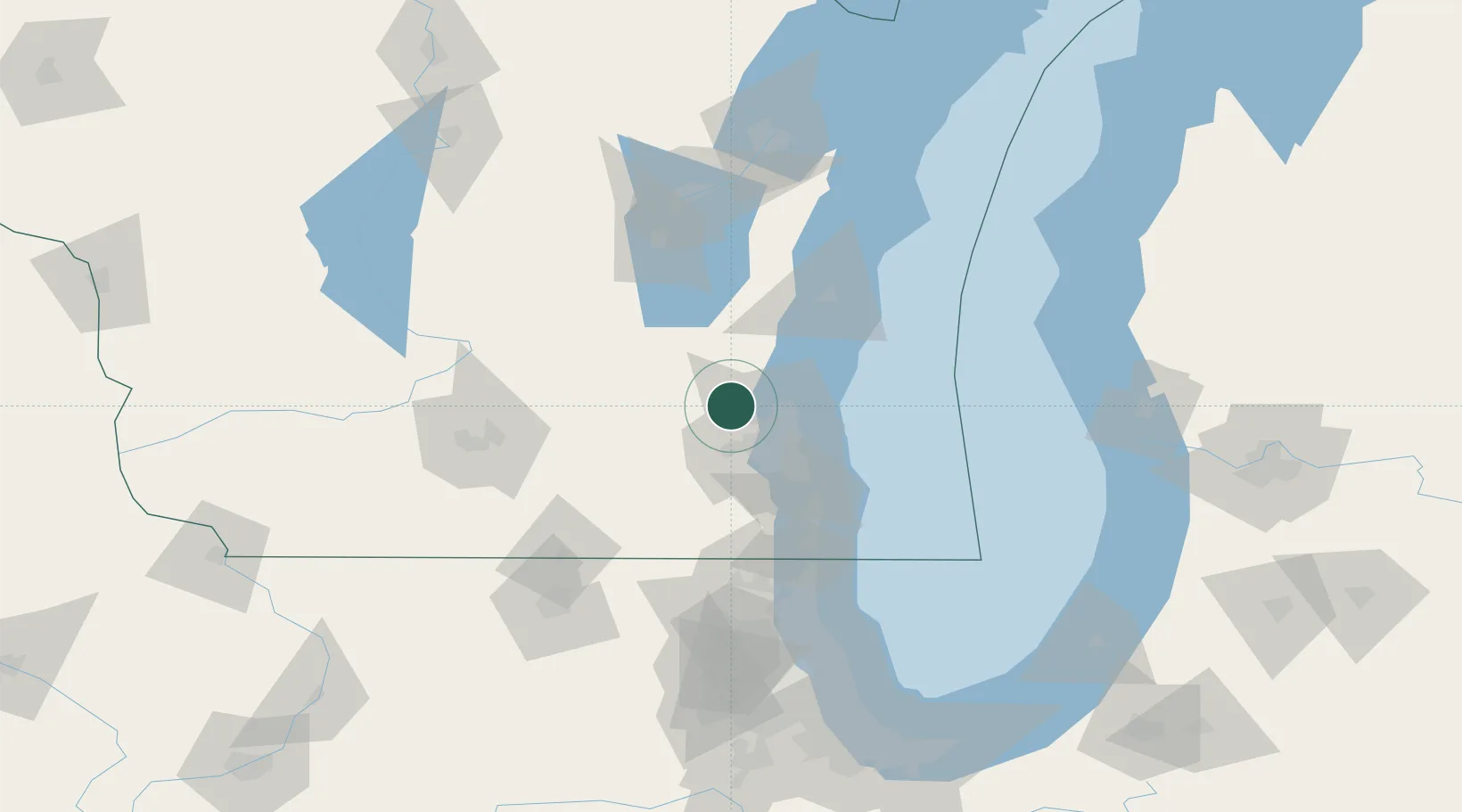
Location
Nearby Logistics Neighbours
Cities
- 1Richfield3 km
- 2Slinger12 km
- 3Hartford15 km
- 4Thiensville20 km
- 5Allenton23 km
Ports
- 1Port Washington33 km
- 2Milwaukee35 km
- 3Racine66 km
- 4Sheboygan71 km
- 5Kenosha79 km
Airports
Trade Zones
- 1FTZ No. 041 Milwaukee21 km
- 2FTZ No. 292 Lake County105 km
- 3FTZ No. 019 Omaha119 km
- 4FTZ No. 266 Dane County122 km
- 5FTZ No. 176 Rockford136 km
DatabookThe Record of Consolidated Knowledge
United States beyond logistics?