Transport Functions
Rail
Road
Multimodal
Hub Profile
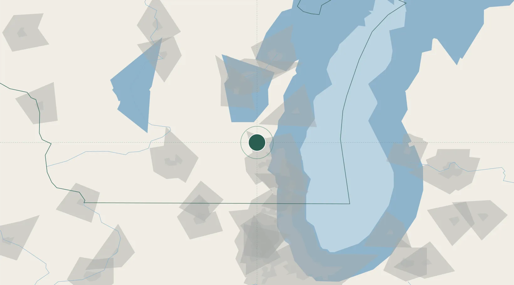
Place type
Populated place
Region
Wisconsin
Population
5,208
Time zone
America/Chicago
Elevation
323 m
Location
Nearby Logistics Neighbours
Ports
- 1Port Washington34 km
- 2Milwaukee47 km
- 3Sheboygan66 km
- 4Racine78 km
- 5Kenosha92 km
Airports
Trade Zones
- 1FTZ No. 041 Milwaukee34 km
- 2FTZ No. 292 Lake County117 km
- 3FTZ No. 266 Dane County119 km
- 4FTZ No. 019 Omaha124 km
- 5FTZ No. 167 Brown County125 km
DatabookThe Record of Consolidated Knowledge
United States beyond logistics?