UN/LOCODE hub · United States
USQPC
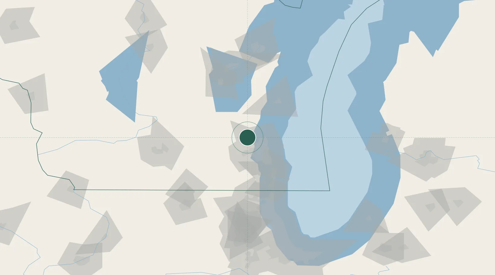
Richfield
43.2500°, -88.1833°
11,530
Population
2
Transport functions
Transport Functions
Rail
Road
Hub Profile
Place type
Populated place
Region
Wisconsin
Population
11,530
Time zone
America/Chicago
Elevation
298 m
Location
Nearby Logistics Neighbours
Cities
- 1Hubertus3 km
- 2Slinger12 km
- 3Hartford17 km
- 4Thiensville18 km
- 5Allenton22 km
Ports
- 1Port Washington30 km
- 2Milwaukee34 km
- 3Racine66 km
- 4Sheboygan68 km
- 5Kenosha80 km
Airports
Trade Zones
- 1FTZ No. 041 Milwaukee22 km
- 2FTZ No. 292 Lake County106 km
- 3FTZ No. 019 Omaha116 km
- 4FTZ No. 266 Dane County125 km
- 5FTZ No. 167 Brown County135 km
DatabookThe Record of Consolidated Knowledge
United States beyond logistics?