Transport Functions
Rail
Road
Hub Profile
Place type
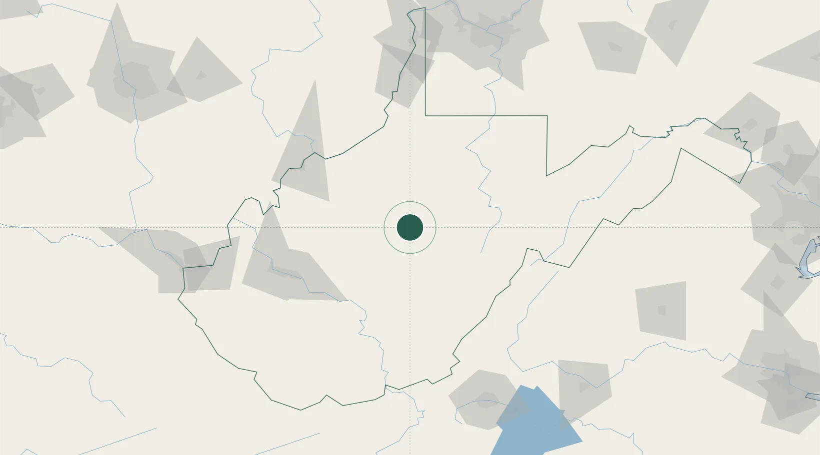
Populated place
Region
West Virginia
Time zone
America/New_York
Elevation
270 m
Location
Nearby Logistics Neighbours
Cities
- 1Sand Fork17 km
- 2Cowen, Webster41 km
- 3Jane Lew43 km
- 4Craigsville48 km
- 5Richwood62 km
Ports
- 1Fredericksburg283 km
- 2Alexandria314 km
- 3Washington D.C.314 km
- 4Richmond314 km
- 5Cleveland317 km
Airports
Trade Zones
- 1FTZ No. 229 Charleston104 km
- 2FTZ No. 238 Dublin186 km
- 3FTZ No. 033 Pittsburgh192 km
- 4FTZ No. 185 Culpeper County226 km
- 5FTZ No. 138 Franklin County229 km
DatabookThe Record of Consolidated Knowledge
United States beyond logistics?