Transport Functions
Rail
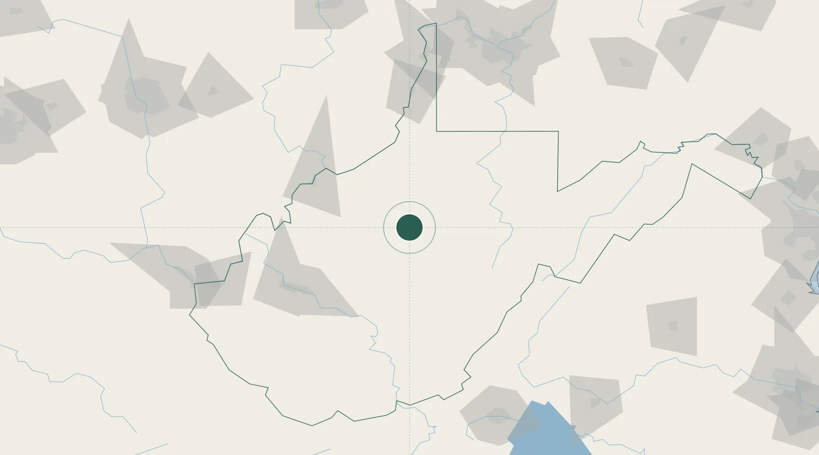
Hub Profile
Place type
Populated place
Region
West Virginia
Population
156
Time zone
America/New_York
Elevation
224 m
Location
Nearby Logistics Neighbours
Cities
- 1Heaters17 km
- 2Jane Lew38 km
- 3Pennsboro47 km
- 4Adamston55 km
- 5Cowen, Webster58 km
Ports
- 1Fredericksburg294 km
- 2Cleveland301 km
- 3Lorain310 km
- 4Vermilion313 km
- 5Huron317 km
Airports
Trade Zones
- 1FTZ No. 229 Charleston104 km
- 2FTZ No. 033 Pittsburgh181 km
- 3FTZ No. 238 Dublin201 km
- 4FTZ No. 138 Franklin County214 km
- 5FTZ No. 185 Culpeper County237 km
DatabookThe Record of Consolidated Knowledge
United States beyond logistics?