Transport Functions
Rail
Road
Hub Profile
Place type
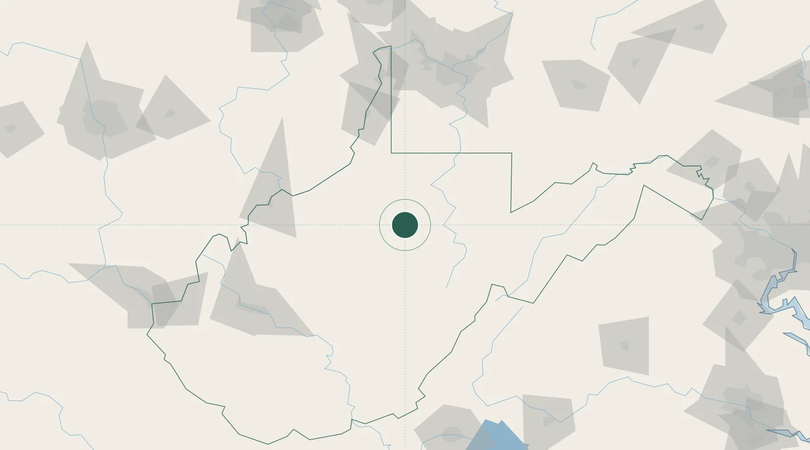
Populated place
Region
West Virginia
Population
409
Time zone
America/New_York
Elevation
310 m
Location
Nearby Logistics Neighbours
Cities
- 1Adamston21 km
- 2Bellington37 km
- 3Sand Fork38 km
- 4Worthington41 km
- 5Grafton42 km
Ports
- 1Fredericksburg271 km
- 2Cleveland289 km
- 3Washington D.C.292 km
- 4Alexandria293 km
- 5Lorain304 km
Airports
Trade Zones
- 1FTZ No. 229 Charleston142 km
- 2FTZ No. 033 Pittsburgh151 km
- 3FTZ No. 240 Martinsburg210 km
- 4FTZ No. 185 Culpeper County213 km
- 5FTZ No. 238 Dublin224 km
DatabookThe Record of Consolidated Knowledge
United States beyond logistics?