Medium airport · United States

Mid Ohio Valley Regional AirportKPKB
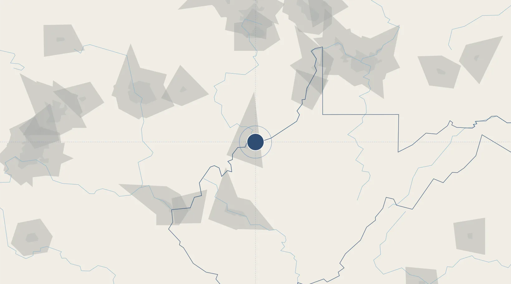
39.3451°, -81.4392°
7,240 ft
Longest runway
2
Runways
858 ft
Elevation

Runway & Layout

Mid Ohio Valley Regional Airport runway & taxiway layout
Runway & taxiway layout — OpenStreetMap (ODbL) / OurAirports

Radio Frequencies

ATIS
124.35 MHz
TWR
123.7 MHz
PARKERSBURG TWR
GND
121.7 MHz
CTAF
123.7 MHz
CNTR
125.55 MHz
INDIANAPOLIS CNTR
UNIC
122.95 MHz
UNICOM
OurAirports

Navaids

JPU VORTAC Parkersburg 108.60 MHz
PK NDB Versi 388 kHz
OurAirports

Runways · 2

RunwayDimensions SurfaceTrue headingLit
03/21 7,240 × 150ft Asphalt 022°
10/28 4,002 × 150ft Asphalt 095°
OurAirports

Airport Specifications

IATA code
PKB
OurAirports
ICAO code
KPKB
OurAirports
Airport class
Medium airport
OurAirports
Scheduled service
Yes
OurAirports
Runway surface
Asphalt
OurAirports
Served city
Parkersburg (Williamstown)
OurAirports

Location

Location of KPKB
Natural Earth 10m (public domain) · West Virginia · KPKB · 39.35, -81.44GoogleOSMYandex

Nearby Logistics Neighbours

Airports
  1. 1Zanesville Municipal Airport77 km
  2. 2North Central West Virginia Airport104 km
  3. 3Yeager Airport109 km
  4. 4Wheeling Ohio County Airport115 km
  5. 5Morgantown Municipal Airport Walter L. (Bill) Hart Field135 km
Nearest neighbours — logibook spatial index (haversine) over the source coordinates
Cities
  1. 1Reno5 km
  2. 2Williamstown6 km
  3. 3Waverly6 km
  4. 4Parkersburg14 km
  5. 5Cedar Grove15 km
Nearest neighbours — logibook spatial index (haversine) over the source coordinates
Ports
  1. 1Cleveland241 km
  2. 2Lorain244 km
  3. 3Vermilion245 km
  4. 4Huron247 km
  5. 5Sandusky258 km
Nearest neighbours — logibook spatial index (haversine) over the source coordinates
Trade Zones
  1. 1FTZ No. 229 Charleston114 km
  2. 2FTZ No. 138 Franklin County139 km
  3. 3FTZ No. 033 Pittsburgh169 km
  4. 4FTZ No. 181 Akron Canton181 km
  5. 5FTZ No. 054 Clinton County202 km
Nearest neighbours — logibook spatial index (haversine) over the source coordinates
DatabookThe Record of Consolidated Knowledge
United States beyond logistics?
Browse databook

All Sources

AirportsOurAirports
Public domain
Portsthe NGA World Port Index
Public domain (US gov)
LocationsUN/LOCODE
UN/LOCODE — free
Trade Zonesthe World Bank SEZ database
CC BY 4.0
Trade ZonesOpen Zone Map
CC BY
InfrastructureOpenStreetMap
ODbL 1.0
← United States airports