UN/LOCODE hub · United States
USBVV
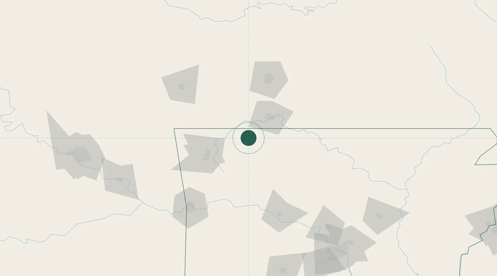
Berryville
36.3667°, -93.5667°
5,371
Population
2
Transport functions
Transport Functions
Port
Road
Hub Profile
Place type
Populated place
Region
Arkansas
Population
5,371
Time zone
America/Chicago
Elevation
379 m
Location
Nearby Logistics Neighbours
Cities
- 1Golden18 km
- 2Kimberling City33 km
- 3Garfield37 km
- 4Hollister43 km
- 5Cassville44 km
Ports
- 1Port Of Memphis339 km
- 2Lake Charles685 km
- 3Baton Rouge694 km
- 4Orange699 km
- 5Beaumont700 km
Airports
- 1Branson Airport38 km
- 2Boone County Airport39 km
- 3Northwest Arkansas National Airport67 km
- 4Drake Field67 km
- 5Ozark Regional Airport98 km
Trade Zones
- 1FTZ No. 225 Springfield100 km
- 2FTZ No. 164 Muskogee183 km
- 3FTZ No. 053 Rogers County205 km
- 4FTZ No. 014 Little Rock222 km
- 5FTZ No. 015 Kansas City299 km
DatabookThe Record of Consolidated Knowledge
United States beyond logistics?