UN/LOCODE hub · United States
USDLY
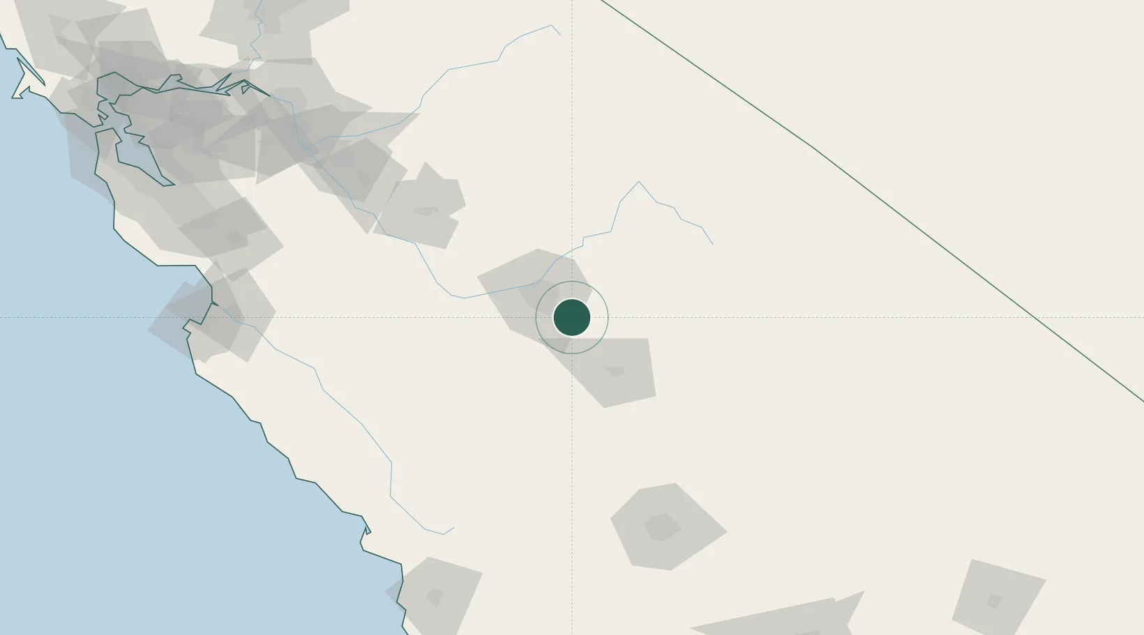
Del Rey
36.6500°, -119.6000°
1,639
Population
3
Transport functions
Transport Functions
Rail
Road
Multimodal
Hub Profile
Place type
Populated place
Region
California
Population
1,639
Time zone
America/Los_Angeles
Elevation
105 m
Location
Nearby Logistics Neighbours
Cities
- 1Laton25 km
- 2Hanford35 km
- 3Goshen37 km
- 4Biola41 km
- 5Farmersville54 km
Ports
- 1Morro Bay182 km
- 2Pismo Beach193 km
- 3Port San Luis195 km
- 4Moss195 km
- 5Monterey204 km
Airports
Trade Zones
- 1FTZ No. 226 Merced, Madera and Fresno Counties107 km
- 2FTZ No. 276 Kern County152 km
- 3FTZ No. 231 Stockton210 km
- 4FTZ No. 018 San Jose217 km
- 5FTZ No. 191 Palmdale267 km
DatabookThe Record of Consolidated Knowledge
United States beyond logistics?