Medium airport · United States
Jack Brooks Regional AirportKBPT
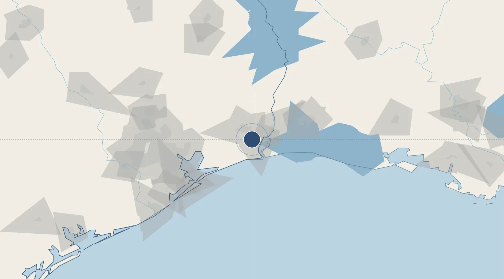
29.9508°, -94.0207°
6,751 ft
Longest runway
2
Runways
15 ft
Elevation
Runway & Layout

Radio Frequencies
ATIS
126.3 MHz
TWR
119.5 MHz
BEAUMONT TWR
GND
121.9 MHz
CLD
118.3 MHz
CLNC DEL
CTAF
119.5 MHz
A/D
121.3 MHz
BEAUMONT APP/DEP
RDO
122.2 MHz
MONTGOMERY CO RDO
UNIC
122.95 MHz
UNICOM
Navaids
BP NDB Kazoo 257 kHz
BPT VOR-DME Beaumont 114.50 MHz
Runways · 2
| Runway | Dimensions | Surface | True heading | Lit |
|---|---|---|---|---|
| 12/30 | 6,751 × 150ft | Concrete | 121° | ✓ |
| 16/34 | 5,071 × 150ft | Asphalt / concrete | 166° | ✓ |
Airport Specifications
IATA code
BPT
ICAO code
KBPT
Airport class
Medium airport
Scheduled service
Yes
Runway surface
Concrete
Served city
Beaumont/Port Arthur
Location
Nearby Logistics Neighbours
Airports
Cities
- 1Groves10 km
- 2Port Arthur13 km
- 3Atreco15 km
- 4Amelia20 km
- 5Vidor22 km
Ports
- 1Port Neches9 km
- 2Port Arthur14 km
- 3Beaumont16 km
- 4Sabine Pass27 km
- 5Sabine30 km
Trade Zones
- 1FTZ No. 116 Port Arthur16 km
- 2FTZ No. 115 Beaumont22 km
- 3FTZ No. 117 Orange25 km
- 4FTZ No. 291 Cameron Parish49 km
- 5FTZ No. 087 Lake Charles69 km
DatabookThe Record of Consolidated Knowledge
United States beyond logistics?