Transport Functions
Rail
Road
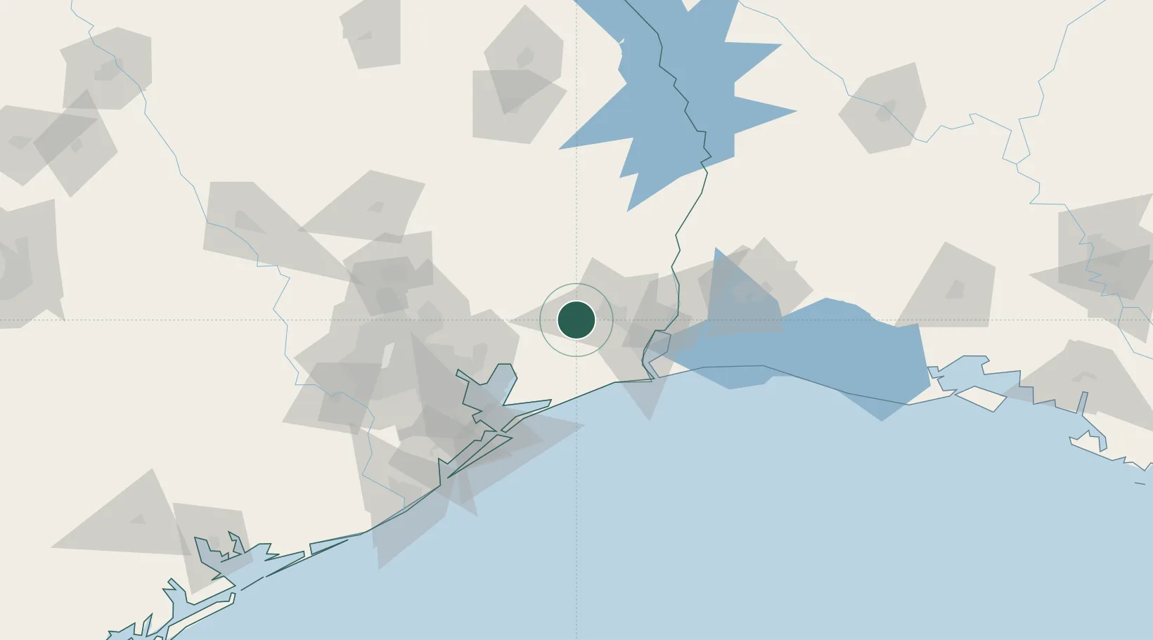
Hub Profile
Place type
Populated place
Region
Texas
Population
1,130
Time zone
America/Chicago
Elevation
12 m
Location
Nearby Logistics Neighbours
Ports
- 1Beaumont24 km
- 2Port Neches37 km
- 3Port Arthur43 km
- 4Sabine Pass55 km
- 5Orange58 km
Airports
Trade Zones
- 1FTZ No. 115 Beaumont14 km
- 2FTZ No. 116 Port Arthur33 km
- 3FTZ No. 117 Orange45 km
- 4FTZ No. 171 Liberty County74 km
- 5FTZ No. 291 Cameron Parish81 km
DatabookThe Record of Consolidated Knowledge
United States beyond logistics?