Channel & Berth Profile
Pilotage, Tugs & Services
Pilotage compulsoryYES
Tug assistanceYES
Potable waterYES
Diesel bunkersYES
MedicalYES
Facilities & Capabilities
Container—
Ro-Ro—
Liquid bulk—
Dry bulk—
Oil terminal—
Break bulk—
Dry dock—
RepairsNO
BunkeringYES
Rail linkYES
Dangerous cargo—
ISPS security—
Harbour Specifications
Harbour size
Medium
Harbour type
Coastal (Breakwater)
Shelter
Fair
Water body
Lake Michigan; Great Lakes
Overhead limit
Yes
Pilotage
Yes
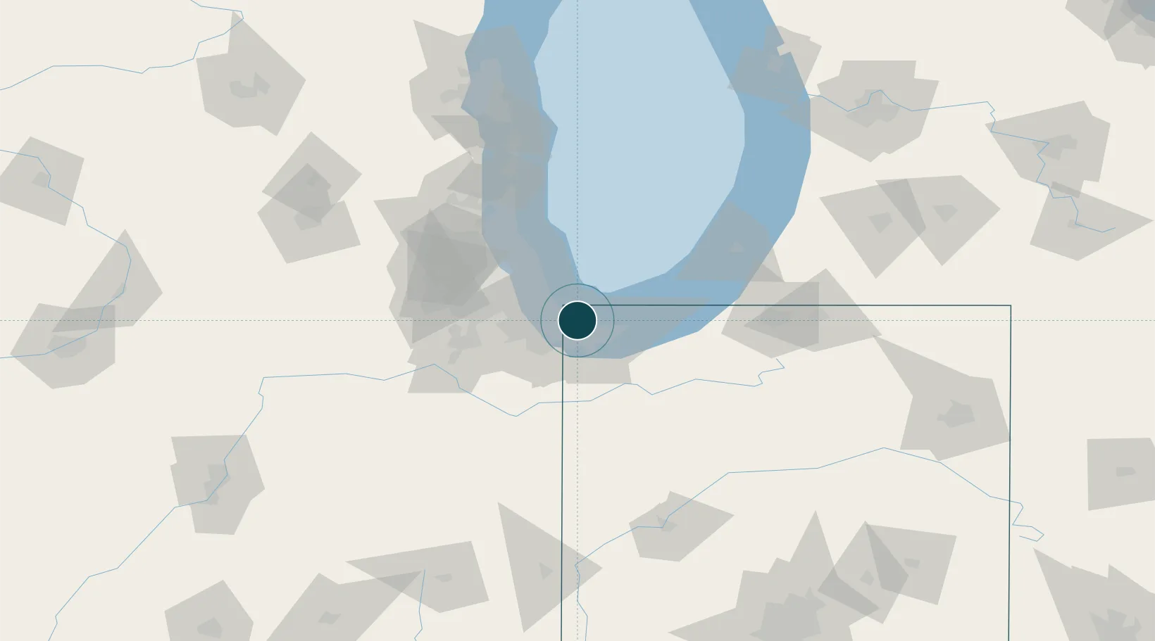
Location
Nearby Logistics Neighbours
Ports
- 1Gary10 km
- 2Calumet Harbor10 km
- 3Chicago28 km
- 4Michigan City45 km
- 5Wilmette51 km
Airports
Trade Zones
- 1FTZ No. 152 Burns Harbor23 km
- 2FTZ No. 022 Chicago41 km
- 3FTZ No. 292 Lake County82 km
- 4FTZ No. 125 South Bend90 km
- 5FTZ No. 176 Rockford161 km
DatabookThe Record of Consolidated Knowledge
United States beyond logistics?