Transport Functions
Road
Multimodal
Hub Profile
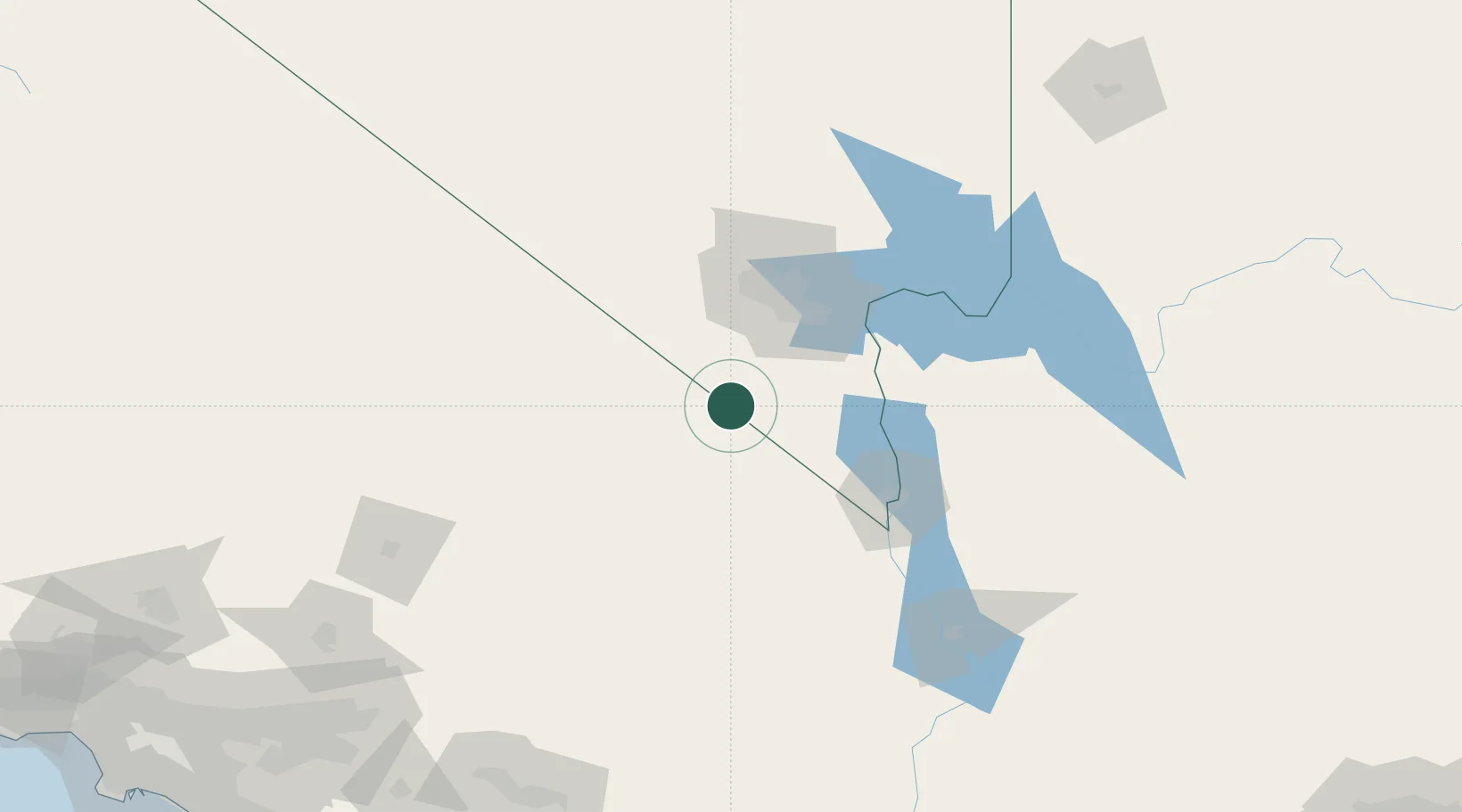
Place type
Populated place
Region
Nevada
Time zone
America/Los_Angeles
Elevation
798 m
Location
Nearby Logistics Neighbours
Cities
- 1Jean21 km
- 2Las Vegas73 km
- 3North Las Vegas76 km
- 4Nellis Air Force Base80 km
- 5Shoshone90 km
Ports
- 1Newport Beach319 km
- 2Long Beach327 km
- 3Los Angeles333 km
- 4El Segundo336 km
- 5San Diego361 km
Airports
Trade Zones
- 1FTZ No. 170 Clark County73 km
- 2FTZ No. 089 Clark County73 km
- 3FTZ No. 243 Victorville213 km
- 4FTZ No. 236 Palm Springs223 km
- 5FTZ No. 244 Riverside County256 km
DatabookThe Record of Consolidated Knowledge
United States beyond logistics?