UN/LOCODE hub · United States
USMC5
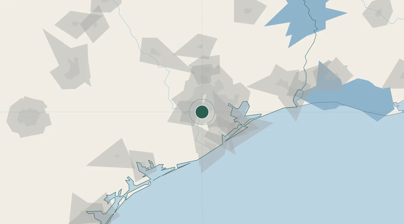
Missouri City
29.6000°, -95.5167°
74,139
Population
3
Transport functions
Transport Functions
Rail
Road
Multimodal
Hub Profile
Place type
Populated place
Region
Texas
Population
74,139
Time zone
America/Chicago
Elevation
24 m
Location
Nearby Logistics Neighbours
Cities
- 1Sugar Land11 km
- 2Fresno11 km
- 3Arcola15 km
- 4Spring Valley20 km
- 5South Houston28 km
Ports
- 1Deer Park24 km
- 2Houston28 km
- 3Pasadena32 km
- 4Baytown51 km
- 5Texas City63 km
Airports
Trade Zones
- 1FTZ No. 084 Harris County30 km
- 2FTZ No. 199 Texas City62 km
- 3FTZ No. 149 Freeport74 km
- 4FTZ No. 036 Galveston77 km
- 5FTZ No. 171 Liberty County78 km
DatabookThe Record of Consolidated Knowledge
United States beyond logistics?