UN/LOCODE hub · United States
USGPV
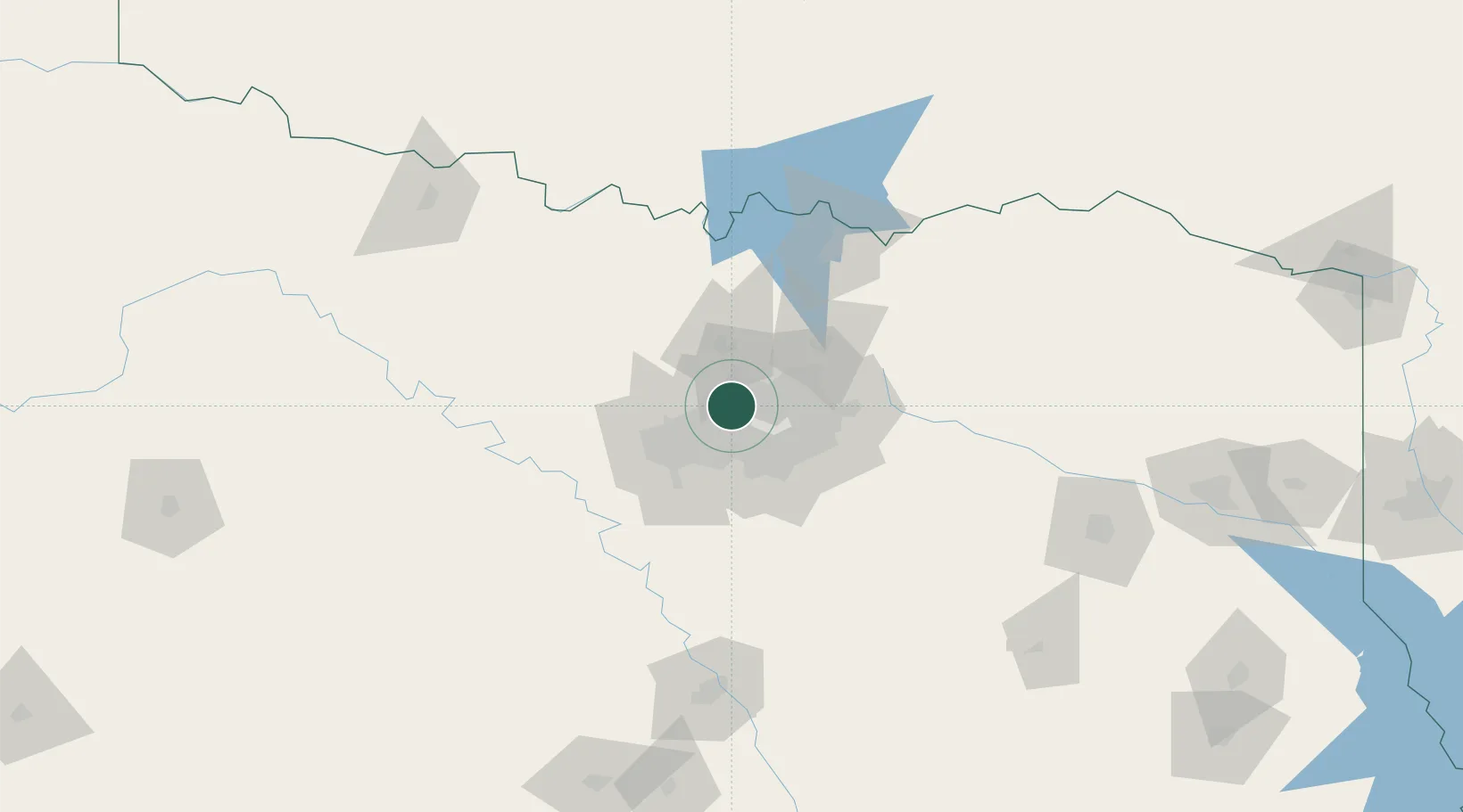
Grapevine
32.9333°, -97.0667°
51,404
Population
3
Transport functions
Transport Functions
Rail
Road
Fixed Transport
Hub Profile
Place type
Populated place
Region
Texas
Population
51,404
Time zone
America/Chicago
Elevation
195 m
Location
Nearby Logistics Neighbours
Cities
- 1Flower Mound7 km
- 2Colleyville10 km
- 3Westlake14 km
- 4Highland, Dallas16 km
- 5Hickory Creek21 km
Airports
Trade Zones
- 1FTZ No. 168 Dallas Fort Worth48 km
- 2FTZ No. 196 Fort Worth49 km
- 3FTZ No. 113 Ellis County71 km
- 4FTZ No. 039 Dallas Fort Worth98 km
- 5FTZ No. 227 Durant135 km
DatabookThe Record of Consolidated Knowledge
United States beyond logistics?