UN/LOCODE hub · United States
USHCO
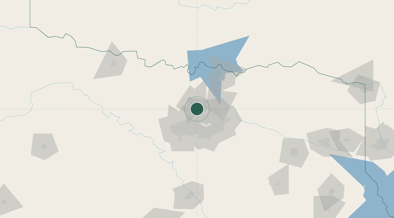
Hickory Creek
33.1167°, -97.0333°
4,139
Population
1
Transport functions
Transport Functions
Port
Hub Profile
Place type
Populated place
Region
Texas
Population
4,139
Time zone
America/Chicago
Elevation
176 m
Location
Nearby Logistics Neighbours
Cities
- 1Lake Dallas2 km
- 2Copper Canyon12 km
- 3The Colony15 km
- 4Flower Mound15 km
- 5Frisco21 km
Airports
Trade Zones
- 1FTZ No. 196 Fort Worth61 km
- 2FTZ No. 168 Dallas Fort Worth62 km
- 3FTZ No. 113 Ellis County91 km
- 4FTZ No. 039 Dallas Fort Worth107 km
- 5FTZ No. 227 Durant115 km
DatabookThe Record of Consolidated Knowledge
United States beyond logistics?