Transport Functions
Rail
Road
Multimodal
Hub Profile
Region
TX
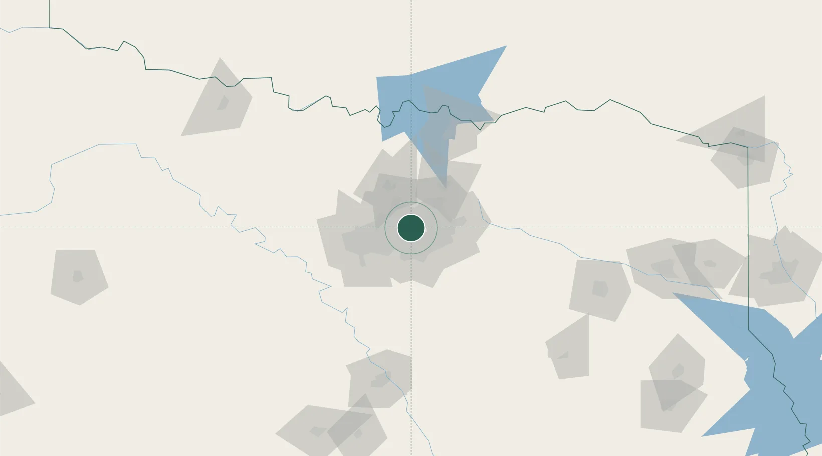
Location
Nearby Logistics Neighbours
Cities
- 1Dallas10 km
- 2University Park11 km
- 3Cockrell Hill15 km
- 4Grapevine16 km
- 5Flower Mound17 km
Airports
Trade Zones
- 1FTZ No. 168 Dallas Fort Worth58 km
- 2FTZ No. 196 Fort Worth61 km
- 3FTZ No. 113 Ellis County64 km
- 4FTZ No. 039 Dallas Fort Worth110 km
- 5FTZ No. 269 Athens122 km
DatabookThe Record of Consolidated Knowledge
United States beyond logistics?