UN/LOCODE hub · United States
USCT2
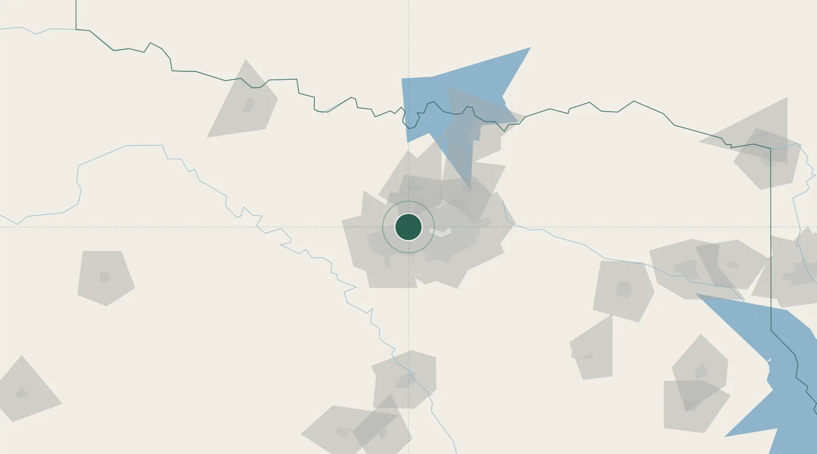
Colleyville
32.8833°, -97.1500°
25,487
Population
2
Transport functions
Transport Functions
Road
Multimodal
Hub Profile
Place type
Populated place
Region
Texas
Population
25,487
Time zone
America/Chicago
Elevation
187 m
Location
Nearby Logistics Neighbours
Cities
- 1Grapevine10 km
- 2Westlake12 km
- 3Fort Worth14 km
- 4Flower Mound16 km
- 5Highland, Dallas22 km
Airports
Trade Zones
- 1FTZ No. 168 Dallas Fort Worth38 km
- 2FTZ No. 196 Fort Worth40 km
- 3FTZ No. 113 Ellis County66 km
- 4FTZ No. 039 Dallas Fort Worth89 km
- 5FTZ No. 269 Athens141 km
DatabookThe Record of Consolidated Knowledge
United States beyond logistics?