UN/LOCODE hub · United States
USXFG

Flower Mound

32.9858°, -97.0354°
71,253
Population
2
Transport functions

Transport Functions

Road
Multimodal
UN/LOCODE

Hub Profile

Place type
Populated place
GeoNames
Region
Texas
GeoNames
Population
71,253
GeoNames
Time zone
America/Chicago
GeoNames
Elevation
184 m
GeoNames
Logistics facilities
1
UN/LOCODE

Location

Location of USXFG
Natural Earth 10m (public domain) · Texas · USXFG · 32.99, -97.04GoogleOSMYandex

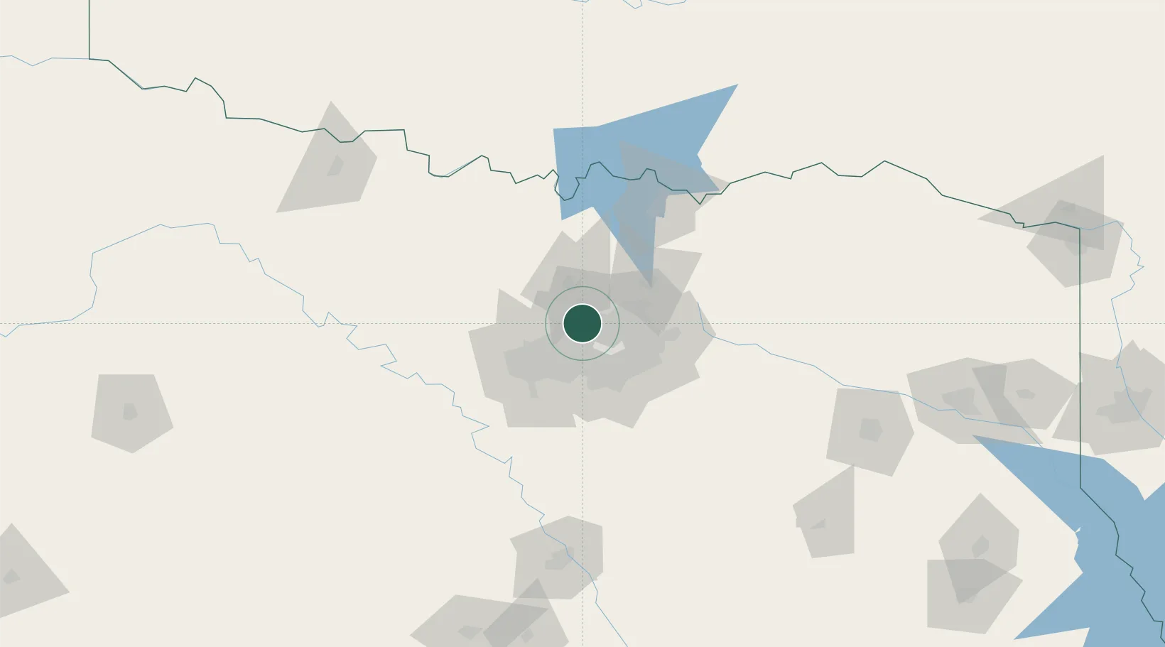
Nearby Logistics Neighbours

Cities
  1. 1Grapevine7 km
  2. 2Hickory Creek15 km
  3. 3Lake Dallas15 km
  4. 4Westlake15 km
  5. 5Colleyville16 km
Nearest neighbours — logibook spatial index (haversine) over the source coordinates
Ports
  1. 1Deer Park394 km
  2. 2Houston396 km
  3. 3Pasadena402 km
  4. 4Baytown409 km
  5. 5Beaumont427 km
Nearest neighbours — logibook spatial index (haversine) over the source coordinates
Airports
  1. 1Dallas Fort Worth International Airport10 km
  2. 2Dallas Love Field24 km
  3. 3Perot Field/Fort Worth Alliance Airport27 km
  4. 4Fort Worth Meacham International Airport36 km
  5. 5NAS Fort Worth JRB / Carswell Field45 km
Nearest neighbours — logibook spatial index (haversine) over the source coordinates
Trade Zones
  1. 1FTZ No. 168 Dallas Fort Worth53 km
  2. 2FTZ No. 196 Fort Worth54 km
  3. 3FTZ No. 113 Ellis County76 km
  4. 4FTZ No. 039 Dallas Fort Worth102 km
  5. 5FTZ No. 227 Durant128 km
Nearest neighbours — logibook spatial index (haversine) over the source coordinates
DatabookThe Record of Consolidated Knowledge
United States beyond logistics?
Browse databook

All Sources

LocationsUN/LOCODE
UN/LOCODE — free
LocationsGeoNames
CC BY 4.0
Portsthe NGA World Port Index
Public domain (US gov)
AirportsOurAirports
Public domain
Trade Zonesthe World Bank SEZ database
CC BY 4.0
Trade ZonesOpen Zone Map
CC BY
← United States locations