Transport Functions
Rail
Road
Hub Profile
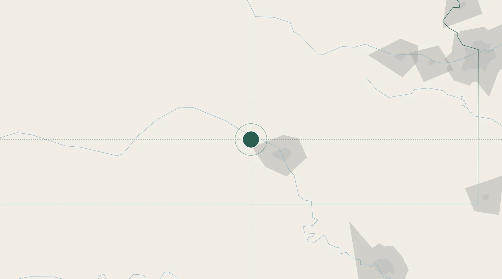
Place type
Populated place
Region
Kansas
Population
1,225
Time zone
America/Chicago
Elevation
451 m
Location
Nearby Logistics Neighbours
Cities
- 1South Hutchinson19 km
- 2Saint Marys26 km
- 3Cheney30 km
- 4Goddard34 km
- 5Kingman41 km
Ports
- 1Port Of Memphis750 km
- 2Beaumont934 km
- 3Deer Park934 km
- 4Houston935 km
- 5Pasadena940 km
Airports
Trade Zones
DatabookThe Record of Consolidated Knowledge
United States beyond logistics?