Transport Functions
Port
Rail
Road
Hub Profile
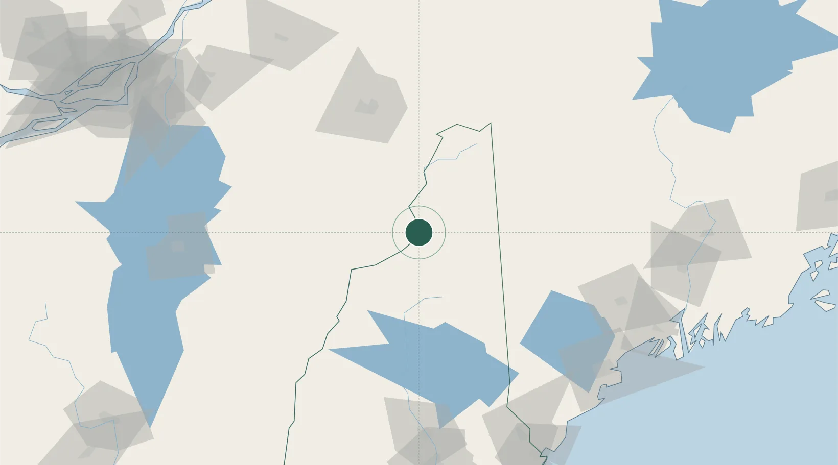
Place type
Provincial seat
Region
Vermont
Population
256
Time zone
America/New_York
Elevation
264 m
Location
Nearby Logistics Neighbours
Ports
- 1Portland145 km
- 2Augusta146 km
- 3Gardiner148 km
- 4Saco148 km
- 5South Harpswell155 km
Airports
Trade Zones
- 1FTZ No. 263 Auburn120 km
- 2FTZ No. 186 Waterville148 km
- 3FTZ No. 081 Portsmouth178 km
- 4Greater Montreal Free Zone Center189 km
- 5FTZ No. 268 Brattleboro207 km
DatabookThe Record of Consolidated Knowledge
United States beyond logistics?