Transport Functions
Rail
Road
Hub Profile
Place type
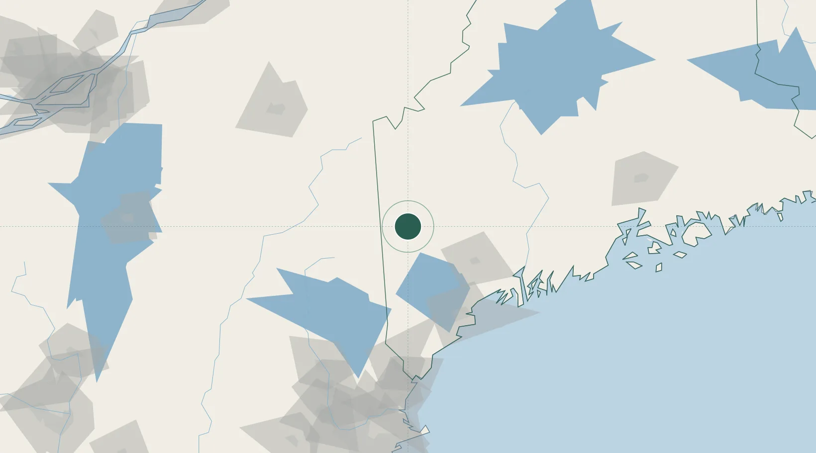
Populated place
Region
Maine
Population
2,507
Time zone
America/New_York
Elevation
221 m
Location
Nearby Logistics Neighbours
Cities
- 1Gorham31 km
- 2Mexico34 km
- 3Oxford37 km
- 4Turner44 km
- 5Mechanic Falls46 km
Ports
- 1Augusta81 km
- 2Gardiner83 km
- 3Portland92 km
- 4Bath94 km
- 5South Harpswell96 km
Airports
- 1Augusta State Airport79 km
- 2Brunswick Executive Airport88 km
- 3Portland International Jetport92 km
- 4Sherbrooke Airport136 km
- 5Knox County Regional Airport139 km
Trade Zones
- 1FTZ No. 263 Auburn57 km
- 2FTZ No. 186 Waterville87 km
- 3FTZ No. 081 Portsmouth150 km
- 4FTZ No. 058 Bangor162 km
- 5FTZ No. 268 Brattleboro225 km
DatabookThe Record of Consolidated Knowledge
United States beyond logistics?