Transport Functions
Port
Rail
Road
Multimodal
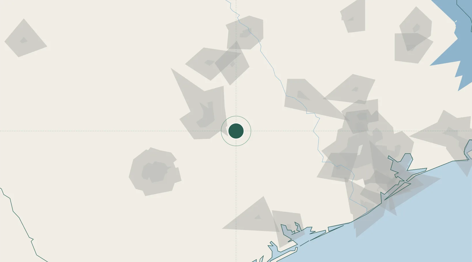
Hub Profile
Place type
Provincial seat
Region
Texas
Population
8,231
Time zone
America/Chicago
Elevation
112 m
Location
Nearby Logistics Neighbours
Ports
- 1Port Lavaca180 km
- 2Palacios192 km
- 3Deer Park195 km
- 4Houston200 km
- 5Pasadena207 km
Airports
Trade Zones
- 1FTZ No. 183 Austin44 km
- 2FTZ No. 080 San Antonio159 km
- 3FTZ No. 246 Waco160 km
- 4FTZ No. 084 Harris County197 km
- 5FTZ No. 171 Liberty County215 km
DatabookThe Record of Consolidated Knowledge
United States beyond logistics?