Transport Functions
Road
Multimodal
Hub Profile
Place type
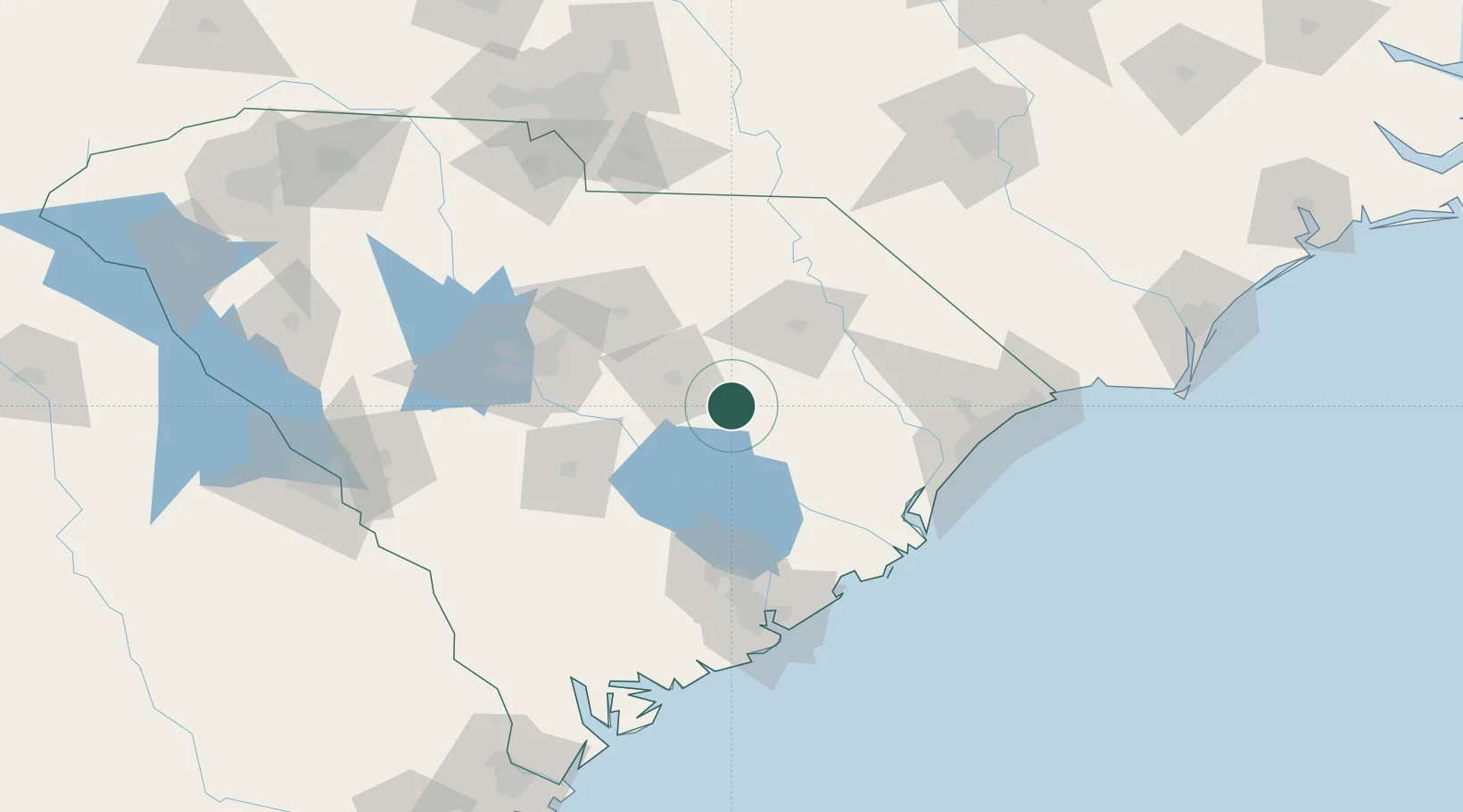
Populated place
Region
South Carolina
Time zone
America/New_York
Elevation
32 m
Location
Nearby Logistics Neighbours
Cities
- 1Lynchburg26 km
- 2Dalzell36 km
- 3Timmonsville37 km
- 4Coward38 km
- 5Lamar39 km
Ports
- 1Georgetown91 km
- 2Charleston116 km
- 3Beaufort163 km
- 4Port Royal170 km
- 5Southport193 km
Airports
Trade Zones
- 1FTZ No. 127 West Columbia97 km
- 2FTZ No. 021 Dorchester County100 km
- 3FTZ No. 057 Mecklenburg County184 km
- 4FTZ No. 104 Savannah213 km
- 5FTZ No. 038 Spartanburg County231 km
DatabookThe Record of Consolidated Knowledge
United States beyond logistics?