Medium airport · United States

Orangeburg Municipal AirportKOGB
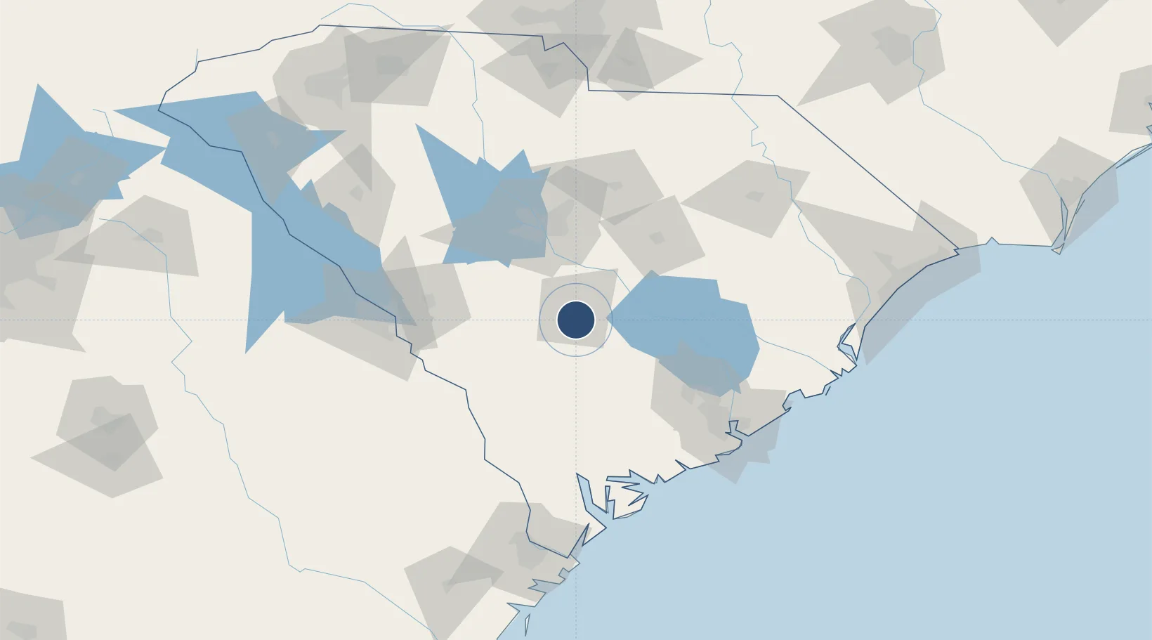
33.4568°, -80.8595°
5,399 ft
Longest runway
2
Runways
195 ft
Elevation

Runway & Layout

Orangeburg Municipal Airport runway & taxiway layout
Runway & taxiway layout — OpenStreetMap (ODbL) / OurAirports

Radio Frequencies

ASOS
118.525 MHz
A/D
124.15 MHz
COLUMBIA APP/DEP
UNIC
122.7 MHz
CTAF/UNICOM
OurAirports

Runways · 2

RunwayDimensions SurfaceTrue headingLit
17/35 5,399 × 100ft Asphalt 167°
05/23 4,508 × 100ft Asphalt 042°
OurAirports

Airport Specifications

IATA code
OGB
OurAirports
ICAO code
KOGB
OurAirports
Airport class
Medium airport
OurAirports
Scheduled service
No
OurAirports
Runway surface
Asphalt
OurAirports
Served city
Orangeburg
OurAirports

Location

Location of KOGB
Natural Earth 10m (public domain) · South Carolina · KOGB · 33.46, -80.86GoogleOSMYandex

Nearby Logistics Neighbours

Airports
  1. 1Mc Entire Joint National Guard Base52 km
  2. 2Jim Hamilton L.B. Owens Airport59 km
  3. 3Columbia Metropolitan Airport59 km
  4. 4Shaw Air Force Base68 km
  5. 5Charleston International Airport99 km
Nearest neighbours — logibook spatial index (haversine) over the source coordinates
Cities
  1. 1North27 km
  2. 2Denmark30 km
  3. 3Santee35 km
  4. 4Swansea38 km
  5. 5Blackville40 km
Nearest neighbours — logibook spatial index (haversine) over the source coordinates
Ports
  1. 1Beaufort115 km
  2. 2Charleston115 km
  3. 3Port Royal122 km
  4. 4Georgetown147 km
  5. 5Savannah154 km
Nearest neighbours — logibook spatial index (haversine) over the source coordinates
Trade Zones
  1. 1FTZ No. 021 Dorchester County45 km
  2. 2FTZ No. 127 West Columbia64 km
  3. 3FTZ No. 104 Savannah153 km
  4. 4FTZ No. 057 Mecklenburg County201 km
  5. 5FTZ No. 038 Spartanburg County204 km
Nearest neighbours — logibook spatial index (haversine) over the source coordinates
DatabookThe Record of Consolidated Knowledge
United States beyond logistics?
Browse databook

All Sources

AirportsOurAirports
Public domain
Portsthe NGA World Port Index
Public domain (US gov)
LocationsUN/LOCODE
UN/LOCODE — free
Trade Zonesthe World Bank SEZ database
CC BY 4.0
Trade ZonesOpen Zone Map
CC BY
InfrastructureOpenStreetMap
ODbL 1.0
← United States airports