UN/LOCODE hub · United States
USVII
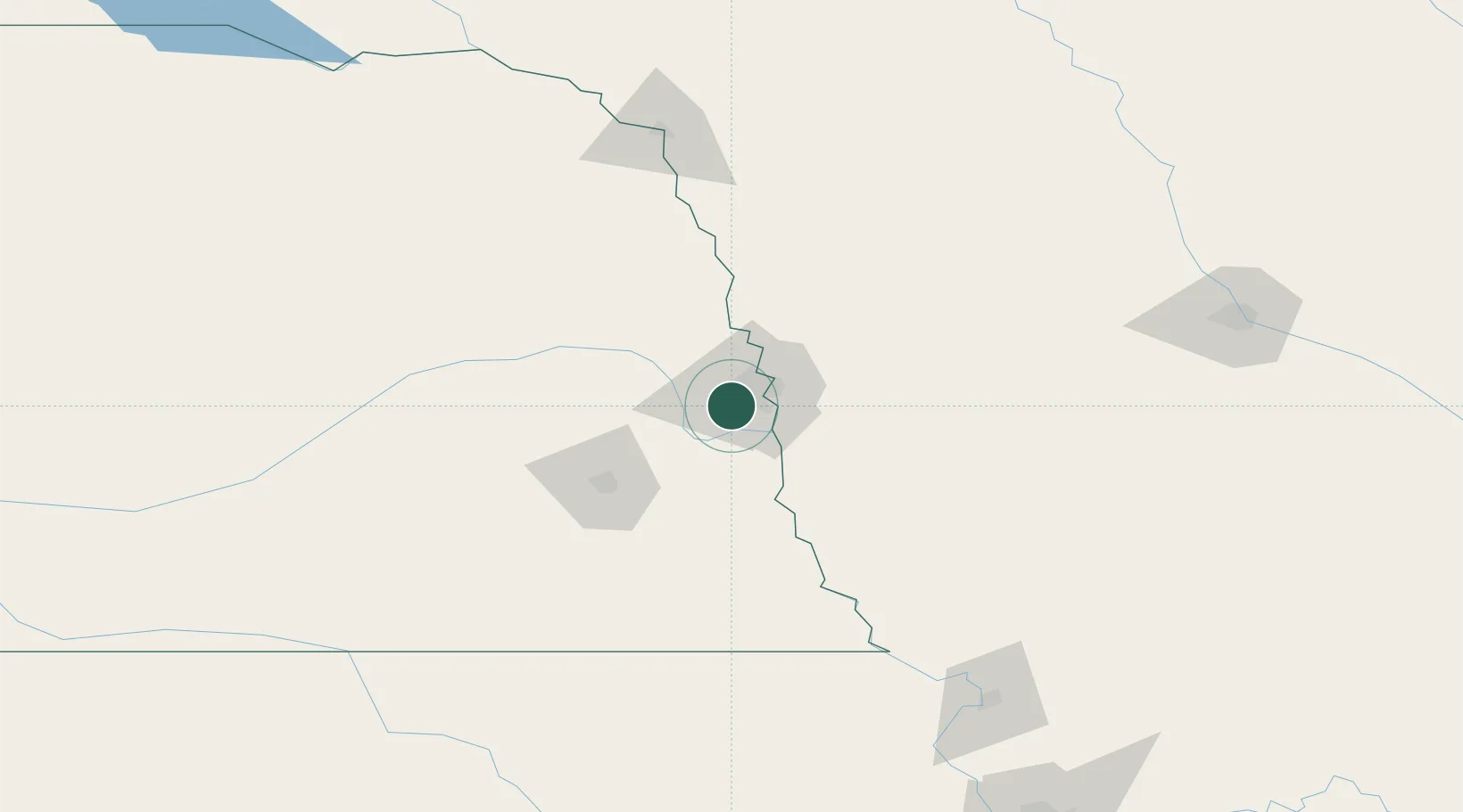
La Vista
41.1766°, -96.0760°
16,921
Population
2
Transport functions
Transport Functions
Road
Multimodal
Hub Profile
Place type
Populated place
Region
Nebraska
Population
16,921
Time zone
America/Chicago
Elevation
338 m
Logistics facilities
1
Location
Nearby Logistics Neighbours
Airports
Trade Zones
- 1FTZ No. 059 Lincoln76 km
- 2FTZ No. 133 Quad-Cities, Iowa Illinois116 km
- 3FTZ No. 107 Polk County205 km
- 4FTZ No. 288 Northwest Iowa221 km
- 5FTZ No. 017 Kansas City254 km
DatabookThe Record of Consolidated Knowledge
United States beyond logistics?